Bayhorse, human settlement in Idaho, United States of America
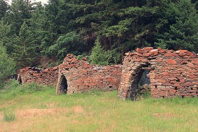
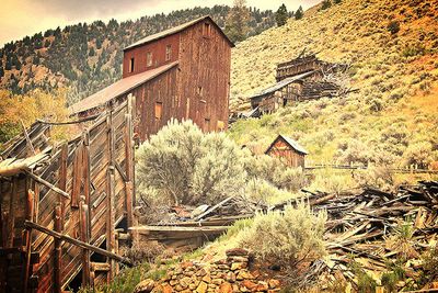
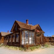
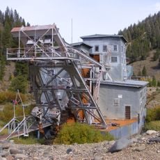
Bayhorse is an abandoned mining settlement located in a narrow canyon along Bayhorse Creek in central Idaho. Several wooden structures remain standing, including a processing mill, miners' cabins, and residential buildings from the 1870s era, all weathered by decades of mountain winters.
The settlement was established in the 1870s when mining interests drew hundreds of workers to extract silver and lead from the canyon. Mining operations closed in the 1920s, after which residents gradually departed, leaving the wooden structures behind.
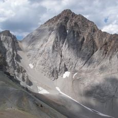
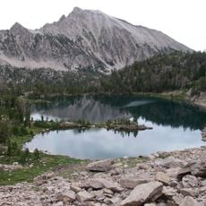
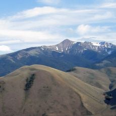
The settlement emerged in the 1870s when silver and lead discoveries attracted miners to this remote canyon along a creek. The tight space between water and rock walls shaped how residents built their homes and arranged their daily lives in this confined valley.
A walking trail winds through the site, connecting the main building ruins and allowing you to explore at your own pace. Plan your visit for warmer months when the access road is clear of snow and easier to navigate.
In the 1890s, a miner named Sam Lockhart disappeared during a winter storm after allegedly hiding a cache of silver bars in one of the shafts. Local records document his departure but never confirm what became of him or the hidden metal, leaving a mystery buried in the mountain.
The community of curious travelers
AroundUs brings together thousands of curated places, local tips, and hidden gems, enriched daily by 60,000 contributors worldwide.