Custer County, Administrative division in Central Idaho, US
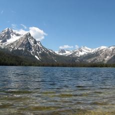
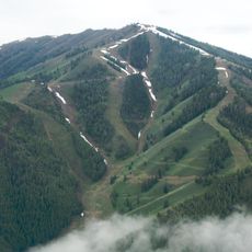
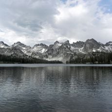
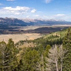
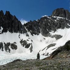
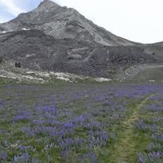
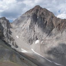
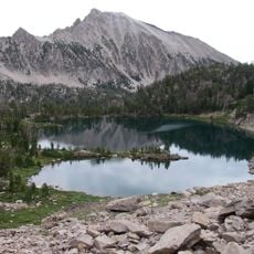
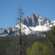
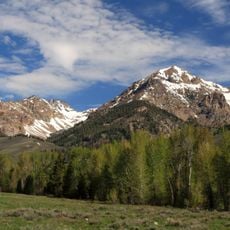
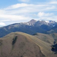
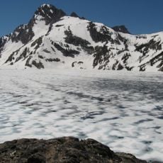
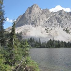
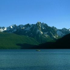
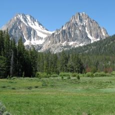
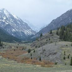
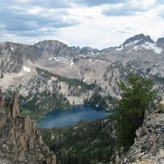
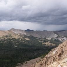
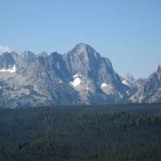
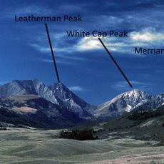
Custer County is an administrative division in central Idaho with varied landscapes including mountain ranges, river valleys, and desert regions spread across the area. The terrain changes dramatically as you move through the county, from high peaks to valleys and open land.
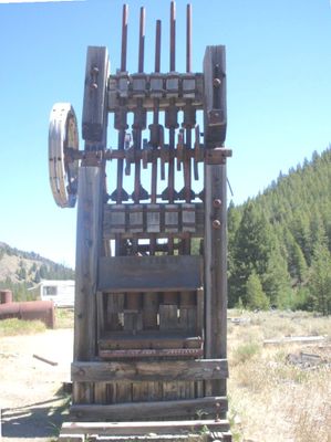
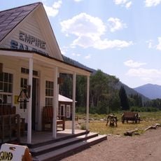
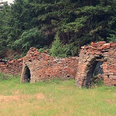
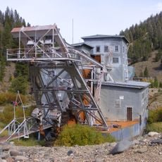
The county was established in 1881 and received its name from a gold mine where deposits were discovered in 1876, triggering regional expansion. This discovery brought miners to the area and led to the growth of settlements and economic development.
Mining history shaped the region, and abandoned settlements like Bayhorse and Bonanza still stand as reminders of how people lived during those times. Walking through these old towns, you can see the buildings and structures that tell stories of the workers who came seeking gold.
The town of Challis serves as the main center for services and information in the county. The rural character means distances between destinations are large, so plan your travel accordingly and check what's available before heading out.
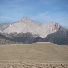
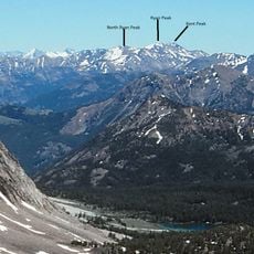
Mount Borah rises as Idaho's highest peak at over 12,600 feet and dominates the eastern side of the county with its commanding presence. The mountain is visible from many locations across the region and serves as a natural landmark.
The community of curious travelers
AroundUs brings together thousands of curated places, local tips, and hidden gems, enriched daily by 60,000 contributors worldwide.