Sawtooth National Recreation Area, National recreation area in Idaho, USA
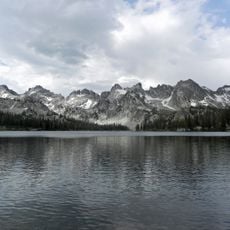
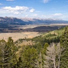
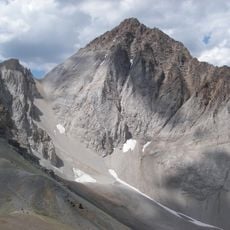
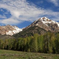
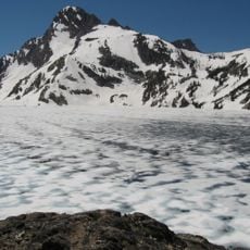
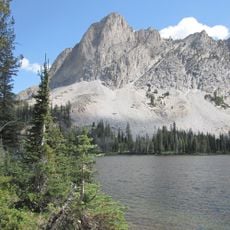
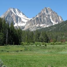
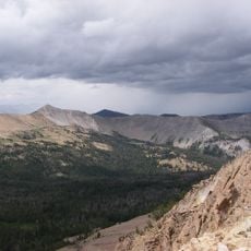
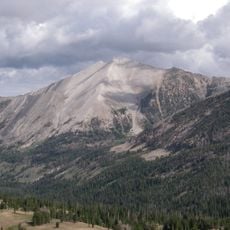
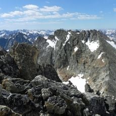
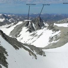
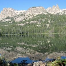
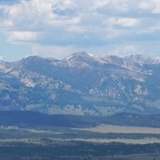
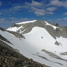
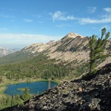
Sawtooth National Recreation Area is a protected mountain region in central Idaho covering roughly 1200 square miles (3000 square kilometers) of ranges, lakes, and wilderness zones. The terrain rises from forested valleys to bare ridges and snow-covered summits, with clear alpine lakes scattered between.
The recreation area was established in 1972 by the United States Forest Service to protect the mountain landscape from uncontrolled development. Before designation, Shoshone and Bannock tribes lived in the region for centuries, using the valleys as hunting and travel routes.
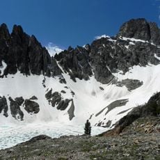
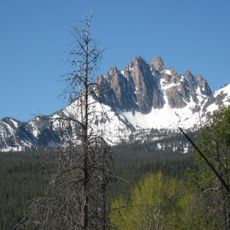
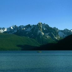
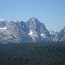
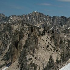
The name Sawtooth comes from the jagged peaks that resemble the teeth of a saw, defining how the landscape appears from a distance. Hikers and campers use the area mostly during summer months when trails clear of snow and lakes become accessible for swimming.
Most trails and campgrounds open from June through September, while higher elevations may hold snow well into July. Visitors should bring water, weather-resistant clothing, and maps, as cell phone service is unavailable in many parts.
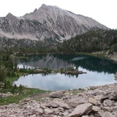
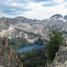
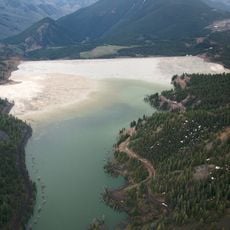
The region holds more than 300 high-mountain lakes, many reachable only after several hours of hiking. Some of these lakes rest in cirques carved by glaciers thousands of years ago and now ringed by steep rock walls.
The community of curious travelers
AroundUs brings together thousands of curated places, local tips, and hidden gems, enriched daily by 60,000 contributors worldwide.