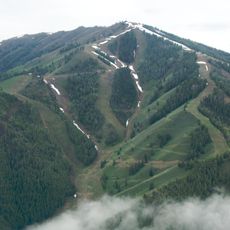
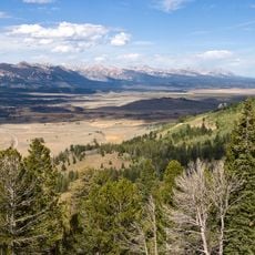
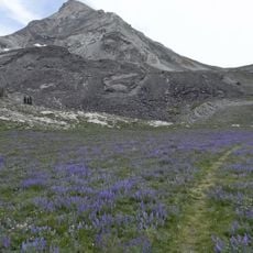
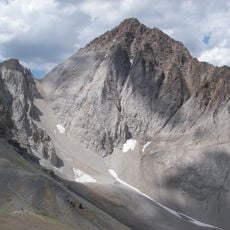
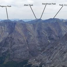
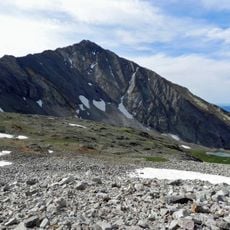
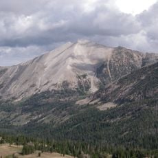
Kent Peak, Mountain summit in Blaine County, Idaho, US.
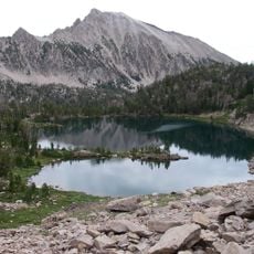
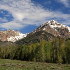
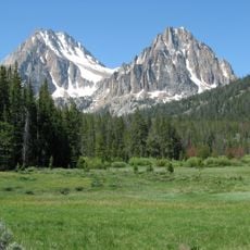
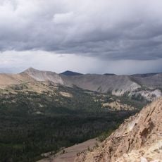
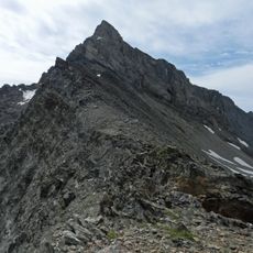
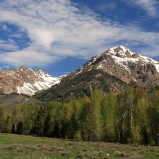
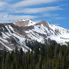
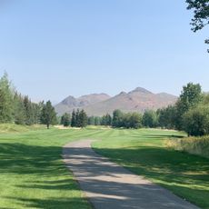
Kent Peak is a mountain summit in the Boulder Mountains of central Idaho with steep cliffs and a distinctive thin ridge formation. The peak reaches an elevation of around 11,600 feet and offers alpine terrain with exposed rocky structures.
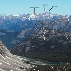
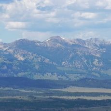
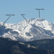
Kent Peak is the second-highest summit of the Boulder Mountains at 11,664 feet, 34th highest in Idaho, standing on the Blaine-Custer county line about 0.75 miles south of Ryan Peak, the range's highest point. It lies on the border of Sawtooth National Recreation Area and Salmon-Challis National Forest, partly within the Hemingway-Boulders Wilderness.
The standard ascent follows the south ridge, rated class 3, while Trail 115 climbs the ridge west of the summit. The peak lies on the Sawtooth National Recreation Area and Salmon-Challis National Forest boundary, partly inside the Hemingway–Boulders Wilderness.
The approach starts north of Ketchum along Highway 75 toward the Sawtooth National Recreation Area. Multiple routes lead from the valley floor through alpine terrain to reach the summit.
Kent Peak is the 34th highest summit in Idaho, and it lies on the border of Blaine and Custer counties. That county line also marks the boundary between Sawtooth National Recreation Area and Salmon-Challis National Forest, with part of the peak inside Hemingway–Boulders Wilderness.
The community of curious travelers
AroundUs brings together thousands of curated places, local tips, and hidden gems, enriched daily by 93,784 contributors worldwide.