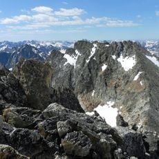
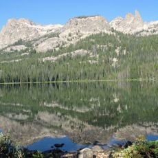
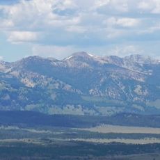
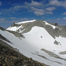
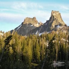
Mount Limbert, Mountain summit in Sawtooth Range, Idaho, USA
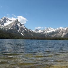
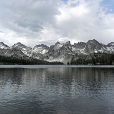
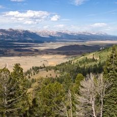
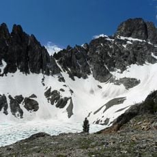
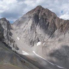
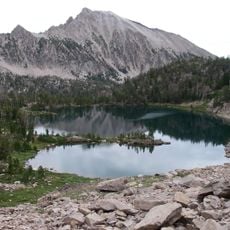
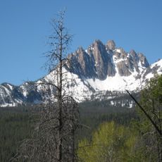
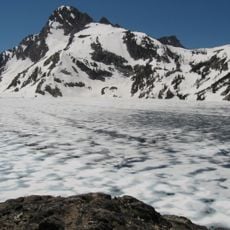
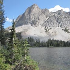
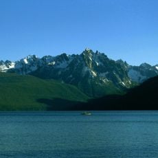
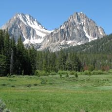
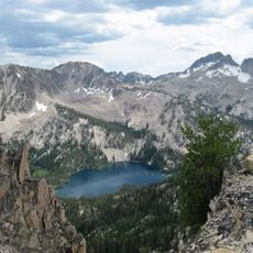
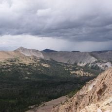
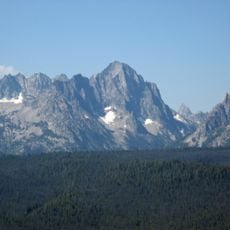
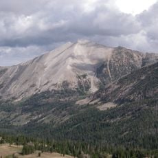
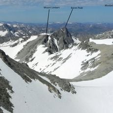
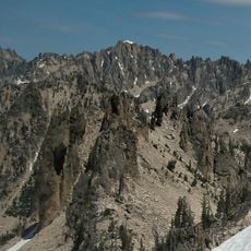
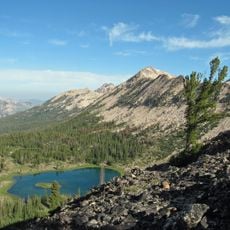
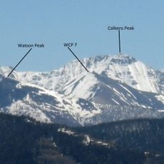
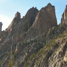
Mount Limbert rises to 10,385 feet (3,165 m) on the Boise–Custer county line in the Sawtooth Wilderness of Sawtooth National Recreation Area, Idaho. It is the twelfth highest peak in the Sawtooth Range, standing 0.54 mi (0.87 km) southwest of Mount Carter, its line parent.
The sources document only that Mount Limbert is a peak in the Sawtooth Range of Idaho, on the border of Boise and Custer counties, standing 0.54 mi (0.87 km) southwest of Mount Carter, its line parent. No verified account of its naming or renaming is recorded in the available sources.
The peak honors Robert 'Two Gun' Limbert, a figure whose work helped establish the Craters of the Moon National Monument. His name has become part of the mountain's identity and reflects his dedication to protecting wild places.
Access starts from the Fishhook Trail, which leads to scree slopes and valleys that require careful route-finding. Climbing conditions are most favorable from July through September when snow coverage is minimal and stable.
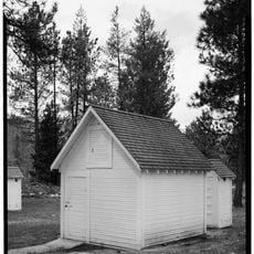
The Robert W. Limbert Collection at Boise State University holds photographs and documents recording the mountain's early climbing and exploration history. These materials reveal how Limbert's photographic work helped document the mountainous region.
The community of curious travelers
AroundUs brings together thousands of curated places, local tips, and hidden gems, enriched daily by 93,784 contributors worldwide.