Parks Peak, Mountain summit in Blaine County, Idaho, United States
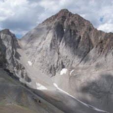
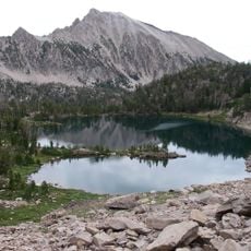
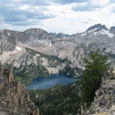
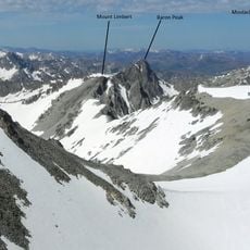
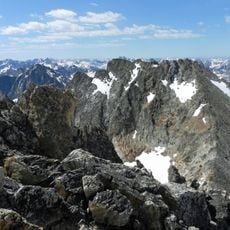
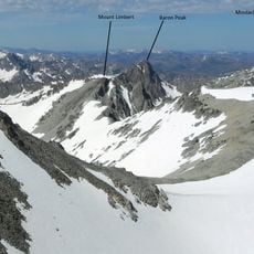
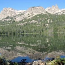
Parks Peak is a 10,280-foot (3,130 m) summit in the Sawtooth Range of Idaho, on the border of Blaine and Custer counties within the Sawtooth Wilderness of Sawtooth National Recreation Area. It stands 2.78 mi (4.47 km) northeast of Snowyside Peak and 1.9 mi (3.1 km) northwest of McDonald Peak. Farley Lake lies north of the peak, while Bowknot and Toxaway lakes lie west of it.
Parks Peak lies on the Blaine–Custer county line in the Sawtooth Wilderness of Sawtooth National Recreation Area, 2.78 miles northeast of Snowyside Peak, its line parent, and 1.9 miles northwest of McDonald Peak. Farley Lake sits north of the peak, while Bowknot and Toxaway lakes lie to the west.
Parks Peak sits on the Blaine–Custer county line inside the Sawtooth Wilderness, so anyone crossing its slopes passes from one county into the other. The name honours the Parks family, early settlers of the Sawtooth Valley, and the peak is climbed as a side trip from the Toxaway and Bowknot lake basins.
Parks Peak lies on the Blaine–Custer county line in the Sawtooth Wilderness of Sawtooth National Recreation Area. It stands 2.78 miles (4.47 km) northeast of Snowyside Peak and 1.9 miles (3.1 km) northwest of McDonald Peak. Farley Lake sits north of the peak, while Bowknot and Toxaway lakes lie to the west, so approaches can be planned around those lakes.
Parks Peak sits on the Blaine–Custer county line inside the Sawtooth Wilderness, 2.78 miles northeast of Snowyside Peak, its line parent, and 1.9 miles northwest of McDonald Peak. Farley Lake lies north of the summit, while Bowknot and Toxaway lakes lie to the west.
The community of curious travelers
AroundUs brings together thousands of curated places, local tips, and hidden gems, enriched daily by 94,557 contributors worldwide.