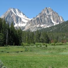
Land of the Yankee Fork State Park, Mining heritage state park in Custer County, United States
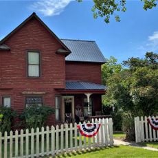
Land of the Yankee Fork is a 521-acre recreation area that contains three former mining settlements with an interpretive center featuring exhibits and gold panning stations. The ghost towns of Bayhorse, Bonanza, and Custer remain scattered across the park with standing structures and original buildings from the frontier era.
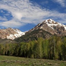
The area emerged as a mining hub during Idaho's gold rush in the 1870s and 1880s when prospectors flocked to the Yankee Fork valley. The state park was established in 1990 to preserve these communities and the stories they represent from that frontier period.
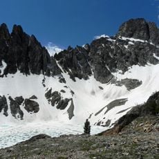
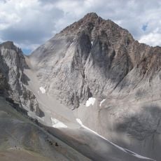
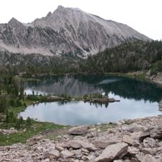
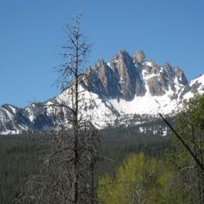
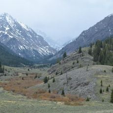
The sites show how people lived and worked in this region across different periods, from early hunters to frontier prospectors seeking gold. You can see the traces of these different eras today through the standing structures and archaeological remains scattered throughout the area.
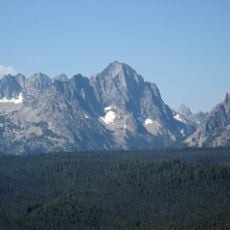
The park is easily accessible with clear signage and an interpretive center near Challis that serves as a good starting point for exploration. Plan your visit between late spring and early fall when trails are open and conditions are favorable for walking and exploring the abandoned sites.
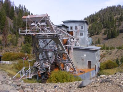
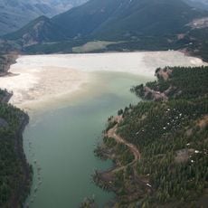
A large gold dredge from the mining era still stands in the park, showing how miners once moved massive amounts of earth to extract gold from the ground. This heavy machinery is a rare surviving example of the industrial equipment that was actually used during the gold rush.
The community of curious travelers
AroundUs brings together thousands of curated places, local tips, and hidden gems, enriched daily by 60,000 contributors worldwide.