Chest opened
+${chestReward.xp} XP
Explorer
NOUVEAU ×${chestReward.collectible.quantity}
tapez pour fermer
Chest locked

Open chests in the app

Around Us is built for your phone — chests unlock when you walk, explore and capture nearby places.

Enable Location

We need your location to show you interesting places around you

Discover nearby places

Find interesting locations and hidden gems around you

Precise directions

Get accurate directions and distances to places

Your location is never shared with other users. It's only used when you tap the location button.

Oroville

Log in to your account

Start exploring — it's free

Trusted by 72,891 travelers worldwide

Continue with Google
Continue with Apple
or

We will send you a code to connect

By continuing, you accept our Terms and Conditions and our Privacy Policy

Check your inbox

We've sent a pincode in your inbox. Please enter the code below.

Discussion Reviews 2 Photos
19.9k Popularity

Oroville, city in Okanogan County, Washington, United States

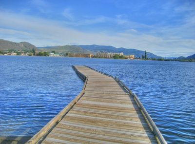
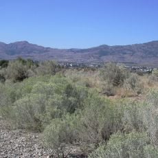
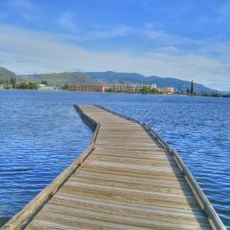
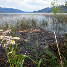
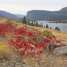
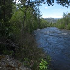
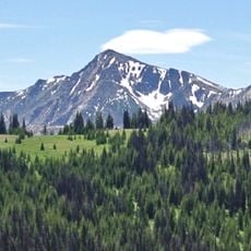
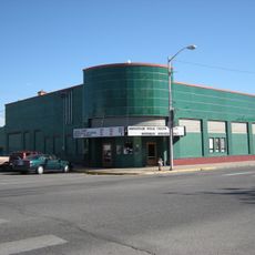
Oroville is a small city located at the end of US Highway 97 in northern Okanogan County, situated on the edge of Osoyoos Lake. With around 1,800 residents, it is surrounded by hills, mountains, and forests, featuring modest shops and homes spread along the main street.

Founded in the late 1850s as a settlement, the town was renamed Oro in 1892 after gold was discovered nearby and changed to Oroville in 1909 to avoid confusion with another location. The railroad brought growth and connection to larger areas until the early 1950s, when service ended.

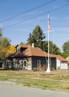
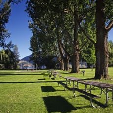
The name Oroville comes from the Spanish word "oro" meaning gold, reflecting the town's mining heritage that shaped its identity. Today, residents and visitors gather at lakeside parks and along main streets for local events and festivals that celebrate the community's traditions and connection to the land.

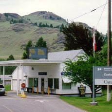
US Highway 97 runs directly through the town and connects it to nearby areas and a border crossing about 4 miles south into Canada. Most restaurants and shops close early, especially during winter months, so plan visits during daytime hours.

Dorothy Scott Airport opened in 1937 about 2 miles outside the city and features facilities for international arrivals, allowing visitors from distant areas to fly in directly. This small airport makes reaching the town easier than relying on larger regional airports.

The community of curious travelers

AroundUs brings together thousands of curated places, local tips, and hidden gems, enriched daily by 60,000 contributors worldwide.

Start exploring
Location
Elevation above the sea
286 m
GPS coordinates
48.93861,-119.43500
Latest update
February 16, 2026 22:20
Reviews
Share your experience

No review yet

Discussions
Start a discussion...

No discussion yet

« Oroville - city in Okanogan County, Washington, United States » is provided by Around Us (aroundus.com). Images and texts are derived from Wikimedia project under a Creative Commons license. You are allowed to copy, distribute, and modify copies of this page, under the conditions set by the license, as long as this note is clearly visible.

Discover hidden gems everywhere you go!

From secret cafés to breathtaking viewpoints, skip the crowded tourist spots and find places that match your style. Our app makes it easy with voice search, smart filtering, route optimization, and insider tips from travelers worldwide. Download now for the complete mobile experience.

Around Us App Screenshot

A unique approach to discovering new places

Le Figaro

All the places worth exploring

France Info

A tailor-made excursion in just a few clicks

20 Minutes

Around Us
Travel Guide & Maps
Download

Send to your phone

QR Code
1

Open the camera app on your mobile.

2

Point at the QR code with your camera. A notification will appear.

3

Tap the notification to open the link.