
Spallumcheen, human settlement in British Columbia, Canada
Location: British Columbia
Website: http://www.spallumcheentwp.bc.ca/
Website: http://spallumcheentwp.bc.ca
GPS coordinates: 50.43330,-119.21700
Latest update: March 3, 2025 02:33
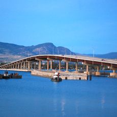
William R. Bennett Bridge
65.1 km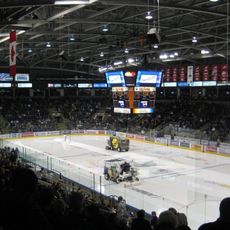
Prospera Place
63.4 km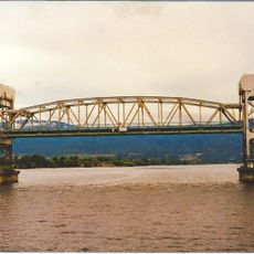
Okanagan Lake Bridge
65.1 km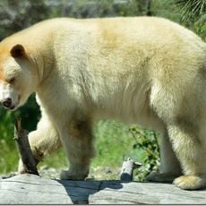
British Columbia Wildlife Park
65.8 km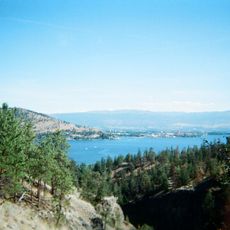
Bear Creek Provincial Park
60 km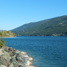
Ellison Provincial Park
32.7 km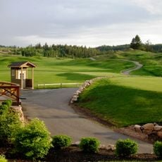
Predator Ridge Resort
29.9 km
Fintry Provincial Park and Protected Area
39 km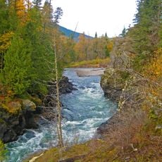
Tsútswecw Provincial Park
60.2 km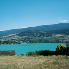
Kalamalka Lake Provincial Park
28 km
Herald Provincial Park
39 km
White Lake Provincial Park
50.8 km
Mara Provincial Park
34.1 km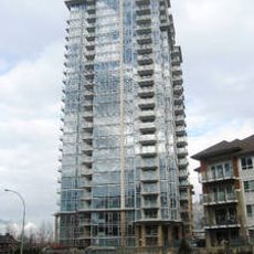
Skye at Waterscapes
63 km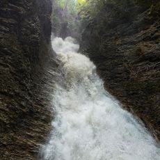
Sunnybrae Provincial Park
37.6 km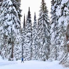
Silver Star Provincial Park
11.5 km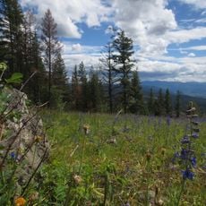
Wrinkly Face Provincial Park
44.3 km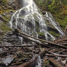
Mabel Lake Provincial Park
35.1 km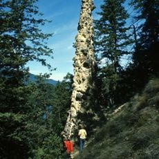
Pillar Provincial Park
34.2 km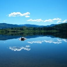
Niskonlith Lake Provincial Park
56.6 km
Predator Ridge
29.6 km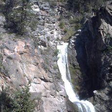
Fintry Provincial Park
39 km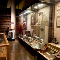
Okanagan Heritage Museum
63.9 km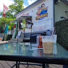
Canoe Beach
36.1 km
Vernon Public Art Gallery
19.2 km
Enderby Cliffs Provincial Park
21.3 km
B.C. Growers Packing House
63.5 km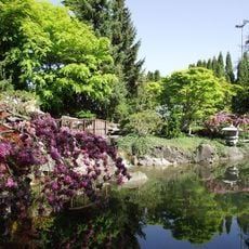
Kasugai Gardens
63.9 kmReviews
Visited this place? Tap the stars to rate it and share your experience / photos with the community! Try now! You can cancel it anytime.
Discover hidden gems everywhere you go!
From secret cafés to breathtaking viewpoints, skip the crowded tourist spots and find places that match your style. Our app makes it easy with voice search, smart filtering, route optimization, and insider tips from travelers worldwide. Download now for the complete mobile experience.

A unique approach to discovering new places❞
— Le Figaro
All the places worth exploring❞
— France Info
A tailor-made excursion in just a few clicks❞
— 20 Minutes