Marl Creek Provincial Park, provincial park in British Columbia, Canada
Location: Columbia-Shuswap Regional District
Inception: June 6, 1961
GPS coordinates: 51.50000,-117.20000
Latest update: March 20, 2025 00:56
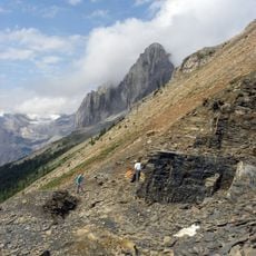
Burgess Shale
51.4 km
Rogers Pass
31.3 km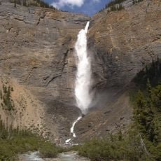
Takakkaw Falls
50.3 km
Great Divide Trail
41.8 km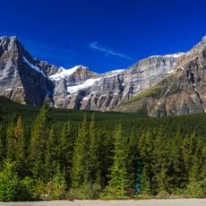
Howse Peak
50 km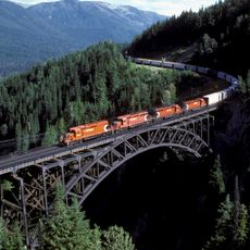
Stoney Creek Bridge
22.8 km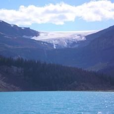
Bow Glacier
54.5 km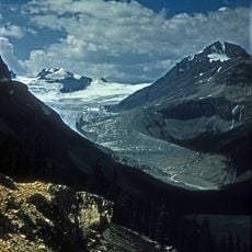
Peyto Glacier
49.3 km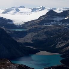
Wapta Icefield
50.7 km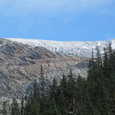
Illecillewaet Glacier
33.8 km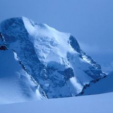
Mount Sir Sandford
49.4 km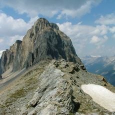
Phyllopod bed
51.1 km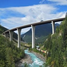
Park Bridge
36.8 km
Waputik Icefield
52.5 km
Twin Falls Tea House
46.5 km
Arthur O. Wheeler hut
33.2 km
Vulture Glacier
48 km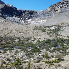
Bow Glacier Falls
51.7 km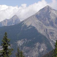
Mount Field
51.7 km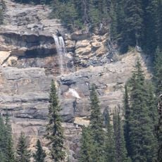
Angels Staircase Falls
48.5 km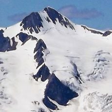
Nanga Parbat Mountain
32.7 km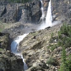
Twin Falls
46.1 km
Mount Synge
50.4 km
Yoho National Park
50.8 km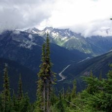
Glacier National Park
31.4 km
Mount Whiteaves
37.3 km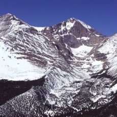
Canadian Rocky Mountain Parks World Heritage Site
50.7 km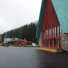
Rogers Pass Discovery Centre
31.4 kmReviews
Visited this place? Tap the stars to rate it and share your experience / photos with the community! Try now! You can cancel it anytime.
Discover hidden gems everywhere you go!
From secret cafés to breathtaking viewpoints, skip the crowded tourist spots and find places that match your style. Our app makes it easy with voice search, smart filtering, route optimization, and insider tips from travelers worldwide. Download now for the complete mobile experience.

A unique approach to discovering new places❞
— Le Figaro
All the places worth exploring❞
— France Info
A tailor-made excursion in just a few clicks❞
— 20 Minutes