Enable Location

We need your location to show you interesting places around you

Discover nearby places

Find interesting locations and hidden gems around you

Precise directions

Get accurate directions and distances to places

Your location is never shared with other users. It's only used when you tap the location button.

Toole County

Log in to your account

Start exploring — it's free

Trusted by 61,509 travelers worldwide

Continue with Google
Continue with Apple
or

We will send you a code to connect

By continuing, you accept our Terms and Conditions and our Privacy Policy

Check your inbox

We've sent a pincode in your inbox. Please enter the code below.

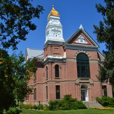
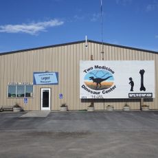
Toole County, Administrative division in northern Montana, United States.

Description

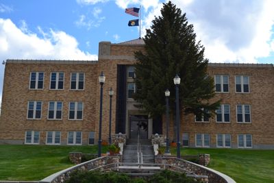
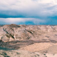
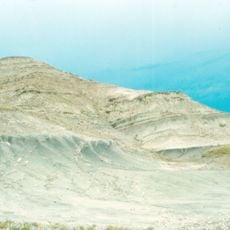
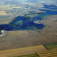
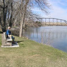
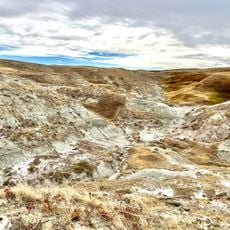
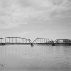
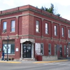
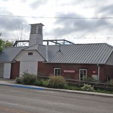
Toole County is an administrative division in northern Montana situated along the Canadian border with expansive plains and agricultural lands. The Marias River flows through its southwestern portion forming a natural boundary, while Shelby serves as the county seat and regional hub.

History

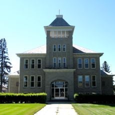
The area became established as a separate administrative division in 1914, named after Joseph Toole, Montana's first governor. Its formation resulted from a division of Hill and Teton counties, reflecting regional growth at that time.

Culture

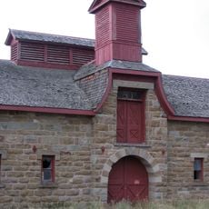
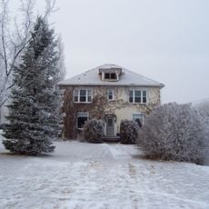
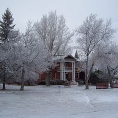
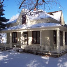
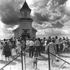
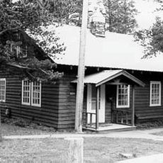
Agriculture and ranching form the backbone of daily life here, with farming families maintaining traditions that have shaped the landscape for generations. The rural character shows in how residents use the land and maintain their communities.

Practical

The area is accessible via Interstate 15 and U.S. Route 2, which converge in Shelby and link to Alberta and other Montana regions. These main highways connect the county to key destinations in all directions.

Did you know?

The area sits directly on the Canadian border and shares common geographical and cultural ties with Alberta. This proximity makes it a threshold between two distinct countries with different traditions.

GPS coordinates
48.67683,-111.73137
Latest update
December 8, 2025 13:42

AroundUs brings together thousands of curated places, local tips, and hidden gems, enriched daily by 60,000 contributors worldwide. Discover all places nearby (Toole County).

Around this place
Dinosaur Park Formation
Canada

Dinosaur Park Formation

113.4 km
Writing-on-Stone Provincial Park
Canada

Writing-on-Stone Provincial Park

45.9 km
Two Medicine Formation
Canada

Two Medicine Formation

79.1 km
Benton Lake National Wildlife Refuge
United States of America

Benton Lake National Wildlife Refuge

116.5 km
J. C. Adams Stone Barn
United States of America

J. C. Adams Stone Barn

126.6 km
Neils Hogenson House
Canada

Neils Hogenson House

108.7 km
William T. Ogden House
Canada

William T. Ogden House

108.2 km
Michelsen Farmstead
Canada

Michelsen Farmstead

109.3 km
Fort Benton Historic District
United States of America

Fort Benton Historic District

123.7 km
Devil's Coulee Dinosaur Heritage Museum
Canada

Devil's Coulee Dinosaur Heritage Museum

75.7 km
Bethany Lutheran Church
United States of America

Bethany Lutheran Church

6.6 km
Fort Benton Bridge
United States of America

Fort Benton Bridge

124.3 km
East Glacier Ranger Station Historic District
United States of America

East Glacier Ranger Station Historic District

112.9 km
First State Bank of Chester
United States of America

First State Bank of Chester

59.3 km
Teton County Courthouse
United States of America

Teton County Courthouse

102 km
Chouteau County Courthouse
United States of America

Chouteau County Courthouse

124.1 km
Rainbow Conoco
United States of America

Rainbow Conoco

21.2 km
Masonic Building
United States of America

Masonic Building

124.3 km
Glacier County Courthouse
United States of America

Glacier County Courthouse

44 km
Fort Benton Engine House
United States of America

Fort Benton Engine House

124.3 km
Grand Union Hotel
United States of America

Grand Union Hotel

124.1 km
Museum of the Plains Indian
United States of America

Museum of the Plains Indian

96 km
Old Fort Benton
United States of America

Old Fort Benton

123.9 km
The Montana Dinosaur Center
United States of America

The Montana Dinosaur Center

89.1 km
Montana Agricultural Center
United States of America

Montana Agricultural Center

123.4 km
Orpheum Theatre
United States of America

Orpheum Theatre

58.7 km
Two Medicine Campground Amphitheater
United States of America

Two Medicine Campground Amphitheater

121.9 km
Two Medicine Campground
United States of America

Two Medicine Campground

122 km
Show the full map
« Toole County - Administrative division in northern Montana, United States » is provided by Around Us (aroundus.com). Images and texts are derived from Wikimedia project under a Creative Commons license. You are allowed to copy, distribute, and modify copies of this page, under the conditions set by the license, as long as this note is clearly visible.

Discover hidden gems everywhere you go!

From secret cafés to breathtaking viewpoints, skip the crowded tourist spots and find places that match your style. Our app makes it easy with voice search, smart filtering, route optimization, and insider tips from travelers worldwide. Download now for the complete mobile experience.

Around Us App Screenshot

A unique approach to discovering new places

Le Figaro

All the places worth exploring

France Info

A tailor-made excursion in just a few clicks

20 Minutes

Around Us
Travel Guide & Maps
Download

Send to your phone

QR Code
1

Open the camera app on your mobile.

2

Point at the QR code with your camera. A notification will appear.

3

Tap the notification to open the link.