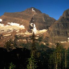
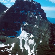
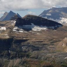
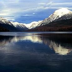
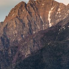
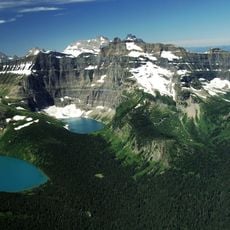
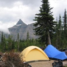
Agassiz Glacier, Glacier in Glacier National Park, Montana, United States.
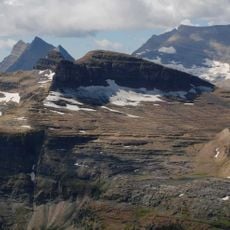
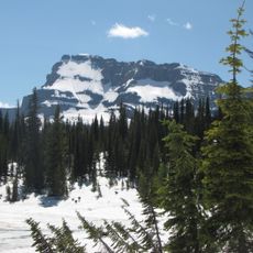
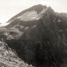
Agassiz Glacier sits in a cirque southeast of Kintla Peak, west of the Continental Divide in Glacier National Park, Montana. The glacier lies at an elevation of about 2,336 metres, with Kintla Peak rising 1.5 km to its northwest. It is one of several glaciers monitored by the U.S. Geological Survey's Glacier Monitoring Research program.
Agassiz Glacier is named after Louis Agassiz, the Swiss-American glaciologist. Between 1966 and 2005 it lost a third of its surface area, a loss documented by the U.S. Geological Survey's Glacier Monitoring Research program, which selected it for long-term monitoring of glacier mass balance in and around Glacier National Park.
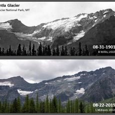
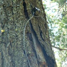
Agassiz Glacier is one of several glaciers selected for monitoring by the U.S. Geological Survey's Glacier Monitoring Research program, which studies glacier mass balance in and around Glacier National Park. Researchers track it with remote sensing equipment and repeat photography taken from identical positions, and tree ring samples have also been used to establish past retreat.
Agassiz Glacier sits at about 2,336 metres in a cirque southeast of Kintla Peak, west of the Continental Divide in Flathead County, Montana. The nearest higher summit, Kintla Peak at 3,070 metres, rises roughly 1.5 km to the northwest. The terrain around the glacier is mostly steep mountain slopes, and no settlement or road lies nearby, so approach is on foot through the park's backcountry.
Agassiz Glacier sits at about 2,336 metres in a cirque on the slopes below Kintla Peak, which rises to 3,070 metres about 1.5 km to the northeast. The USGS monitors it with remote sensing and repeat photography taken from fixed points, and between 1966 and 2005 it lost a third of its surface area.
The community of curious travelers
AroundUs brings together thousands of curated places, local tips, and hidden gems, enriched daily by 93,783 contributors worldwide.