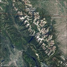
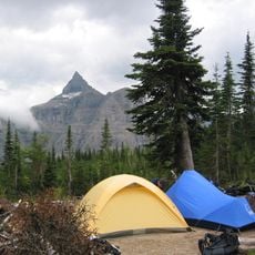
Boulder Glacier, Mountain glacier in Glacier National Park, Montana
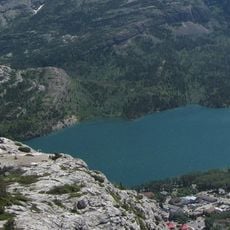
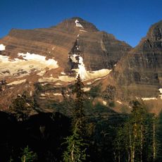
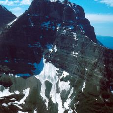
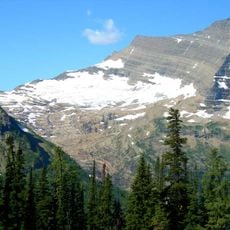
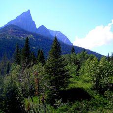
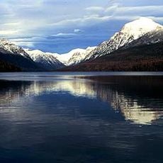
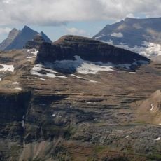
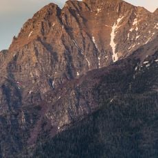
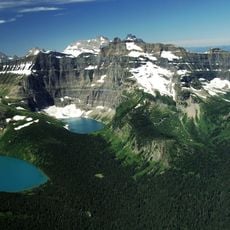
Boulder Glacier sits on the northern slopes of Boulder Peak, west of the Continental Divide in Glacier National Park. The ice mass clings to steep mountainsides and forms a visible feature in the park's high alpine terrain.
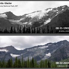
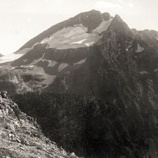
Boulder Glacier was photographed in 1910, when it was far larger than later surveys recorded. Between 1966 and 2005 it lost more than 75 percent of its surface area, shrinking to 13 acres by 2005. U.S. Geological Survey researchers photographed it again in 2007, and those images show the glacier has almost disappeared.
The glacier sits in the traditional territory of the Blackfeet and Kootenai peoples, whose names remain on park features such as Boulder Peak and the Continental Divide. The Blackfeet called the park's eastern slopes their home hunting grounds; the Kootenai lived west of the divide. Visitors still hear these names on trail signs and ranger talks.
Hikers reach this glacier through marked trails in Glacier National Park with proper equipment and preparation. The best time is late summer and early fall, when trails are clear and weather is more stable.
Though technically no longer an active glacier, it remains an important part of the park landscape and shows the visible effects of climate change. Visitors can observe how quickly alpine landscapes can shift over time.
The community of curious travelers
AroundUs brings together thousands of curated places, local tips, and hidden gems, enriched daily by 93,784 contributors worldwide.