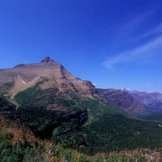
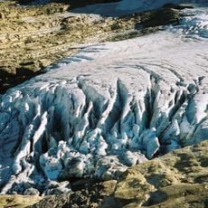
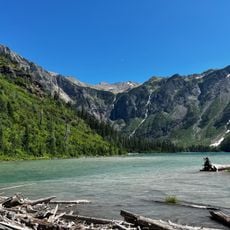
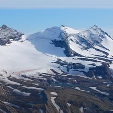
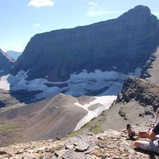
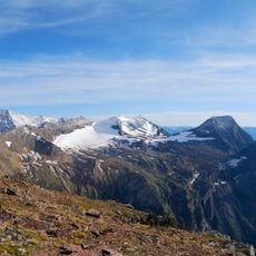
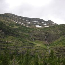
Blackfoot Glacier, Glacial formation in Glacier National Park, Montana, United States.
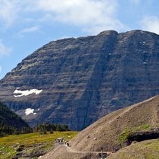
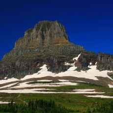
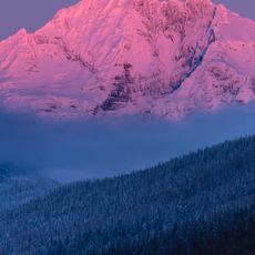
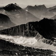
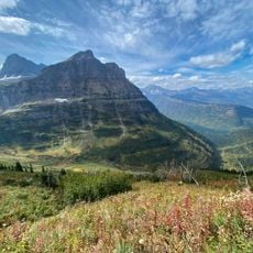
Blackfoot Glacier is an expanse of ice in Glacier National Park that sits beneath Blackfoot Mountain with visible crevasses and layered ice formations. The surface bears the marks of slow movement and constant melt, creating a dynamic frozen landscape.
The glacier was first documented in 1850 as a much larger formation than it is today. Over time it separated from the neighboring Jackson Glacier as ongoing ice loss reshaped the landscape.
The sources do not record a Blackfoot tribal naming; the glacier takes its name from Blackfoot Mountain, on whose north slope it lies. The Blackfoot name itself is not explained in the documents, so visitors should treat the tribal link as unverified.
The glacier lies on the north slope of Blackfoot Mountain, near Jackson Glacier, and is monitored by the U.S. Geological Survey using remote sensing and repeat photography from fixed points. It is not a marked trail destination; approach requires route-finding on steep alpine terrain. Check conditions before setting out, since snowfields persist and ice avalanches have occurred, as in summer 2007.
In summer 2007 a section of Blackfoot Glacier broke away and fell as an ice avalanche. Since 1966 the U.S. Geological Survey has tracked the glacier with repeat photography, shooting images from fixed points to compare its shrinking outline. Between 1966 and 2005 it lost more than 23 percent of its surface area.
The community of curious travelers
AroundUs brings together thousands of curated places, local tips, and hidden gems, enriched daily by 93,782 contributors worldwide.