
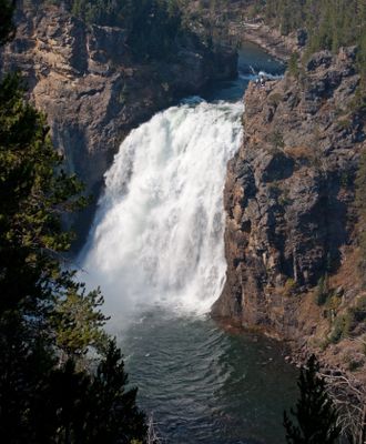
Upper Falls of the Yellowstone River, waterfall in Yellowstone National Park in Park County, Wyoming, United States
Location: Park County
Elevation above the sea: 2,322 m
Part of: Yellowstone River
GPS coordinates: 44.71272,-110.49937
Latest update: March 5, 2025 19:46
Yellowstone National Park
12.5 km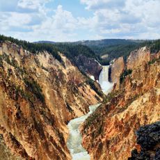
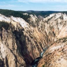
Grand Canyon of the Yellowstone
489 m
Yellowstone Falls
644 m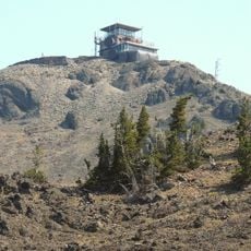
Mount Washburn
10.8 km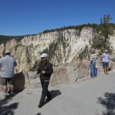
Artist Point Overlook
1.8 km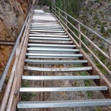
Uncle Tom's Trail
487 m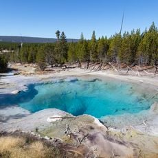
Emerald Spring
14.7 km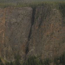
Silver Cord Cascade
4.1 km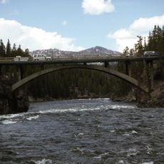
Chittenden Memorial Bridge
575 m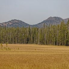
Hedges Peak
7.4 km
Inspiration Point
2.7 km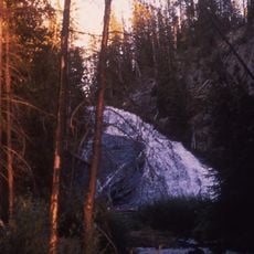
Virginia Cascades
11.7 km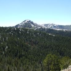
Dunraven Peak
8.1 km
Cook Peak
15.7 km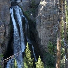
Crystal Falls
460 m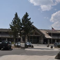
Canyon Visitor Education Center
2.5 km
Museum of the National Park Ranger
15.9 km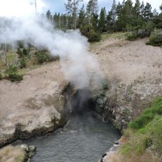
Dragons Mouth Spring
11 km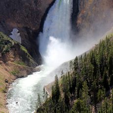
Lower Falls of the Yellowstone River
630 m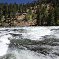
LeHardys Rapids
14.9 km
Canyon Campground
2.8 km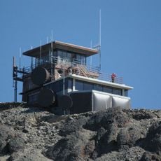
Mount Washburn Lookout
10.8 km
Norris Campground
15.6 km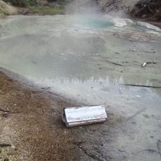
Monarch Geyser
15.9 km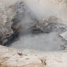
Mud Volcano
11.1 km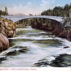
Chittenden Bridge
575 m
Churning Caldron
11.4 km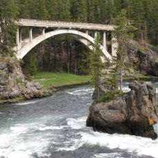
Canyon Bridge
260 mVisited this place? Tap the stars to rate it and share your experience / photos with the community! Try now! You can cancel it anytime.
Discover hidden gems everywhere you go!
From secret cafés to breathtaking viewpoints, skip the crowded tourist spots and find places that match your style. Our app makes it easy with voice search, smart filtering, route optimization, and insider tips from travelers worldwide. Download now for the complete mobile experience.

A unique approach to discovering new places❞
— Le Figaro
All the places worth exploring❞
— France Info
A tailor-made excursion in just a few clicks❞
— 20 Minutes