Gallatin Range, Mountain range in southwestern Montana and northwestern Wyoming, United States
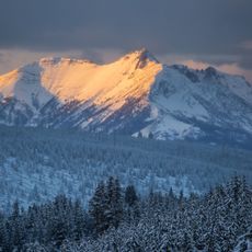
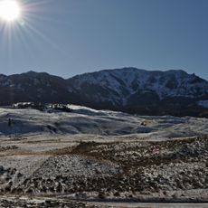
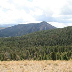
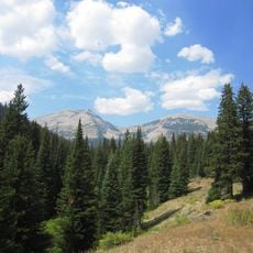
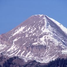
The Gallatin Range is a mountain system in southwestern Montana and northwestern Wyoming that stretches roughly 75 miles north to south. This range contains numerous peaks exceeding 10,000 feet (3,048 meters), with Electric Peak reaching 10,969 feet (3,343 meters) as its highest point.
The area was explored and mapped by the Lewis and Clark Expedition in 1806 during their journey westward. The range takes its name from Albert Gallatin, who later served as United States Secretary of the Treasury.
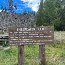
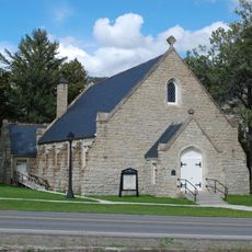
The range has long served as a sacred landscape and hunting ground for Native American tribes who traveled through its valleys and peaks. These ancestral connections remain visible today in archaeological sites scattered across the mountains.
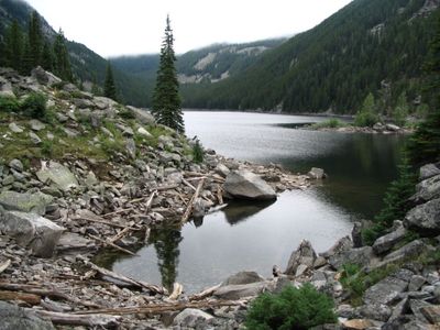
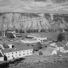
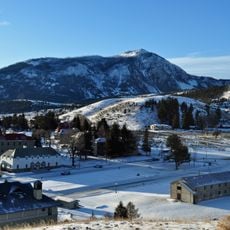
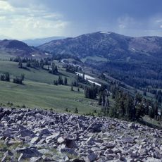
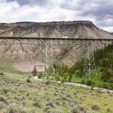
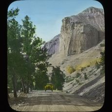
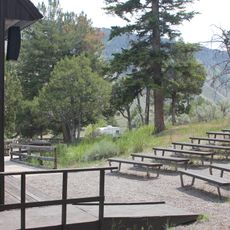
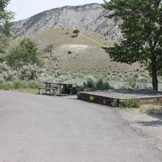
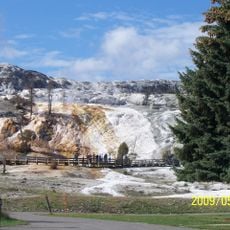
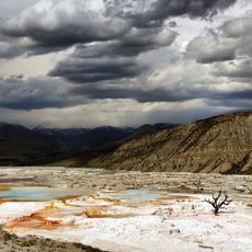
Hundreds of miles of public trails wind through the range at varying difficulty levels for different experience and skill levels. The northern section falls within Custer-Gallatin National Forest while the southern portion lies within Yellowstone National Park.
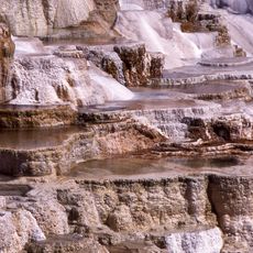
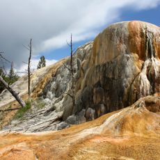
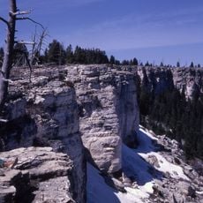
The range contains the world's largest petrified forest from the Eocene epoch with mineralized tree fossils buried by volcanic sediments approximately 50 million years ago. This geological formation provides a window into ancient forest ecosystems and the volcanic history that shaped the region.
The community of curious travelers
AroundUs brings together thousands of curated places, local tips, and hidden gems, enriched daily by 60,000 contributors worldwide.