Enable Location

We need your location to show you interesting places around you

Discover nearby places

Find interesting locations and hidden gems around you

Precise directions

Get accurate directions and distances to places

Your location is never shared with other users. It's only used when you tap the location button.

Stillwater County

Log in to your account

Start exploring — it's free

Trusted by 61,440 travelers worldwide

Continue with Google
Continue with Apple
or

We will send you a code to connect

By continuing, you accept our Terms and Conditions and our Privacy Policy

Check your inbox

We've sent a pincode in your inbox. Please enter the code below.

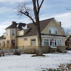
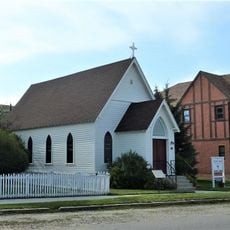
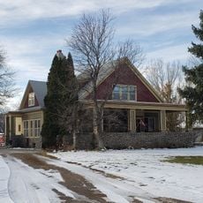
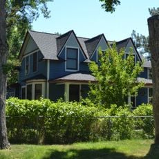
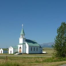
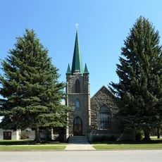
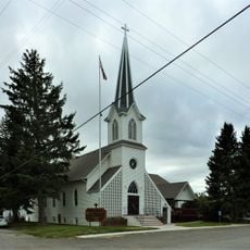
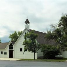
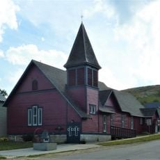
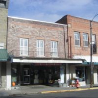
Stillwater County, County in south-central Montana, United States

Description

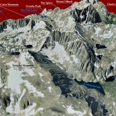
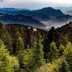
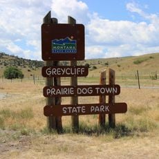
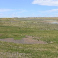
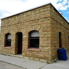
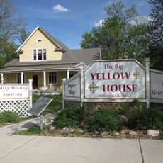
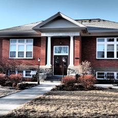
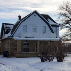
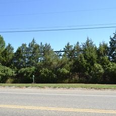
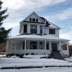
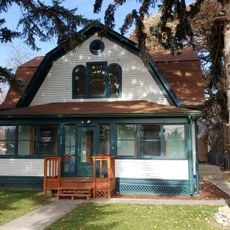
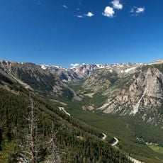
Stillwater County is an administrative division in south-central Montana covering an area that blends mountainous terrain with open plains and varied geology. The landscape includes smaller towns, ranches, and natural features spread throughout the region.

History

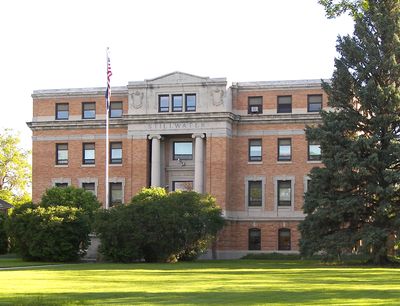
The county was established in 1913 as a distinct administrative division, marking a key reorganization of Montana's regional structure at that time. Columbus became the county seat and has served as its administrative center since its creation.

Culture

The county maintains strong agricultural traditions through regular farming exhibitions, county fairs, and community gatherings that connect local residents.

Practical

County services operate from headquarters in Columbus, where public records and information are available to residents and visitors. The scattered communities throughout the region are accessible by car, with roads connecting the main towns and points of interest.

Did you know?

Stillwater County implements a Special Needs Alerts and Identification Program to enhance emergency services for residents requiring additional assistance.

Location
Inception
1913
Capital city
Columbus
Shares border with
Golden Valley County, Carbon County, Yellowstone County, Park County, Sweet Grass County
GPS coordinates
45.67000,-109.39000
Latest update
December 8, 2025 13:43

AroundUs brings together thousands of curated places, local tips, and hidden gems, enriched daily by 60,000 contributors worldwide. Discover all places nearby (Montana).

Around this place
Granite Peak
United States of America

Granite Peak

65.1 km
ZooMontana
United States of America

ZooMontana

60 km
Mount Wood
United States of America

Mount Wood

55 km
Greycliff Prairie Dog Town State Park
United States of America

Greycliff Prairie Dog Town State Park

31.9 km
Hailstone National Wildlife Refuge
United States of America

Hailstone National Wildlife Refuge

40.9 km
Michael Jacobs House
United States of America

Michael Jacobs House

10.7 km
Gebo Barn
United States of America

Gebo Barn

51.6 km
Bearcreek Bank
United States of America

Bearcreek Bank

59.5 km
Oliver H. Hovda House
United States of America

Oliver H. Hovda House

16.9 km
Carnegie Public Library
United States of America

Carnegie Public Library

47.2 km
Forsman House
United States of America

Forsman House

56.4 km
Corey House
United States of America

Corey House

56.2 km
Calvary Episcopal Church
United States of America

Calvary Episcopal Church

54.8 km
Hester E. Suydam Boarding House
United States of America

Hester E. Suydam Boarding House

48.6 km
Glidden House
United States of America

Glidden House

56.2 km
Stoltz House
United States of America

Stoltz House

37.5 km
Joliet Bridge
United States of America

Joliet Bridge

39 km
Fromberg Opera House
United States of America

Fromberg Opera House

48.7 km
Fromberg Concrete Arch Bridge
United States of America

Fromberg Concrete Arch Bridge

49.5 km
Raymond Hough House
United States of America

Raymond Hough House

56 km
Samuel Greenblatt House
United States of America

Samuel Greenblatt House

48.6 km
Rock Creek
United States of America

Rock Creek

47 km
Melville Lutheran Church
United States of America

Melville Lutheran Church

68.6 km
Big Timber Lutheran Church
United States of America

Big Timber Lutheran Church

47.3 km
St Mark's Episcopal Church (Big Timber)
United States of America

St Mark's Episcopal Church (Big Timber)

47.3 km
Immanuel Lutheran Church (Absarokee)
United States of America

Immanuel Lutheran Church (Absarokee)

17.7 km
St. James Lutheran Church (Columbus, Montana)
United States of America

St. James Lutheran Church (Columbus, Montana)

10.9 km
Beartooth Mountain Baptist Church (Red Lodge)
United States of America

Beartooth Mountain Baptist Church (Red Lodge)

54.8 km
Show the full map
Administrative divisions
« Stillwater County - County in south-central Montana, United States » is provided by Around Us (aroundus.com). Images and texts are derived from Wikimedia project under a Creative Commons license. You are allowed to copy, distribute, and modify copies of this page, under the conditions set by the license, as long as this note is clearly visible.

Discover hidden gems everywhere you go!

From secret cafés to breathtaking viewpoints, skip the crowded tourist spots and find places that match your style. Our app makes it easy with voice search, smart filtering, route optimization, and insider tips from travelers worldwide. Download now for the complete mobile experience.

Around Us App Screenshot

A unique approach to discovering new places

Le Figaro

All the places worth exploring

France Info

A tailor-made excursion in just a few clicks

20 Minutes

Around Us
Travel Guide & Maps
Download

Send to your phone

QR Code
1

Open the camera app on your mobile.

2

Point at the QR code with your camera. A notification will appear.

3

Tap the notification to open the link.