Niobrara County

Log in to your account

AroundUs is a community-driven map of interesting places, built by curious explorers like you. It grows with every review, story, and photo you share.
Connect to save your favorite spots, contribute locations, and create personalized routes.
By continuing, you accept our Terms and Conditions and our Privacy Policy
Add to collection
Map
Suggest a change
Share

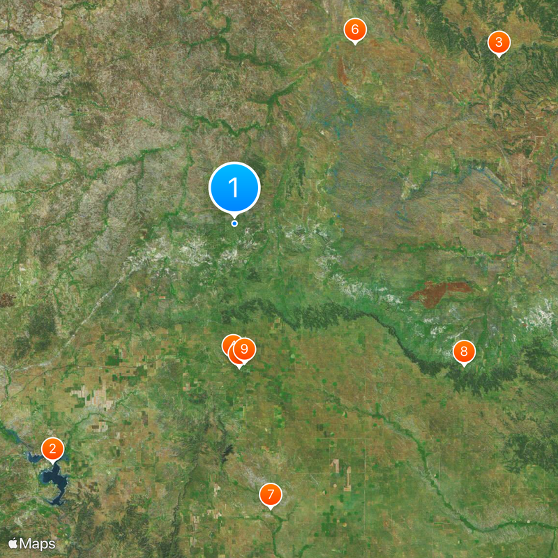
Niobrara County, County seat in eastern Wyoming, United States.

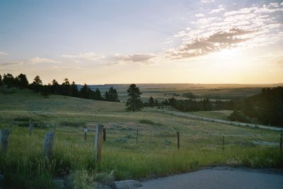
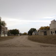
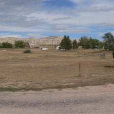
Niobrara County is an administrative division in eastern Wyoming with rolling grasslands and the Thunder Basin National Grassland at its core. The area consists mainly of open prairie with a small population concentrated in towns like Lusk, the county seat.

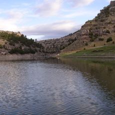
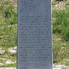
The county was established in 1911 from territory that previously belonged to Converse County. Its name comes from the Niobrara River, which flows near Lusk and runs through the region.

People here maintain strong ties to German, English, and Irish heritage from early settlers who shaped the region. These roots show up in local family names, community traditions, and how neighbors connect with one another.

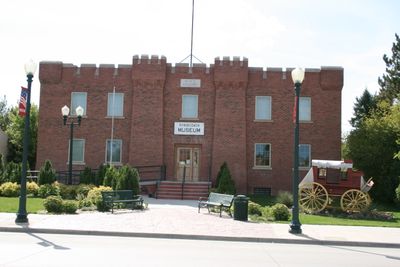
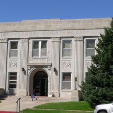
Government offices operate in Lusk, the county seat, with services available on weekdays. Planning a visit during warmer months is wise, as winters can be harsh and winds are common year-round.

With fewer than 2,500 residents, this is one of the least populated counties in Wyoming. The small population creates a sense of wide-open space and solitude in this high plains landscape.

Location: Wyoming

Inception: 1911

Capital city: Lusk

Shares border with: Weston County, Custer County, Fall River County, Sioux County, Goshen County, Platte County, Converse County

Website: http://niobraracounty.org

GPS coordinates: 43.05000,-104.47000

Latest update: December 13, 2025 15:39

Photos
Around this place
Glendo State Park
United States of America

Glendo State Park

69.1 km
Fossil Cycad National Monument
United States of America

Fossil Cycad National Monument

71.5 km
Cheyenne-Black Hills Stage Route and Rawhide Buttes and Running Water Stage Stations
United States of America

Cheyenne-Black Hills Stage Route and Rawhide Buttes and Running Water Stage Stations

31.2 km
C and H Refinery Historic District
United States of America

C and H Refinery Historic District

33 km
DSD Bridge over Cheyenne River
United States of America

DSD Bridge over Cheyenne River

49.6 km
Jay Em Historic District
United States of America

Jay Em Historic District

66.1 km
Sowbelly Canyon
United States of America

Sowbelly Canyon

62 km
Lusk Water Tower
United States of America

Lusk Water Tower

32 km
Site of Ferdinand Branstetter Post No. 1, American Legion
United States of America

Site of Ferdinand Branstetter Post No. 1, American Legion

53 km
Sioux County Courthouse
United States of America

Sioux County Courthouse

62.5 km
Arthur and Ellen Colgan House
United States of America

Arthur and Ellen Colgan House

59.2 km
Chilson Bridge
United States of America

Chilson Bridge

67.4 km
Wildcat Number 3 Reservoir
United States of America

Wildcat Number 3 Reservoir

23.1 km
Gilbert Baker Special Use Area
United States of America

Gilbert Baker Special Use Area

56.7 km
Jordan Reservoir
United States of America

Jordan Reservoir

54.8 km
Bad Land Number 2 Reservoir
United States of America

Bad Land Number 2 Reservoir

11.2 km
Hoblit Reservoir
United States of America

Hoblit Reservoir

35.6 km
The Point
United States of America

The Point

23.6 km
Jordan Reservoir
United States of America

Jordan Reservoir

53.8 km
Henry Reservoir Number 1
United States of America

Henry Reservoir Number 1

51 km
Anderson Dam Number 1
United States of America

Anderson Dam Number 1

48.9 km
Middle Creek Reservoir
United States of America

Middle Creek Reservoir

45.3 km
Magoon Number 1 Reservoir
United States of America

Magoon Number 1 Reservoir

14.8 km
Andrews Dam
United States of America

Andrews Dam

62.5 km
Cody-Yellow Hair Battlefield Monument
United States of America

Cody-Yellow Hair Battlefield Monument

63.5 km
Mader Reservoir Number 1
United States of America

Mader Reservoir Number 1

53.8 km
Warbonnet Battlefield Monument
United States of America

Warbonnet Battlefield Monument

61.9 km
Warbonnet Battlefield Monument
United States of America

Warbonnet Battlefield Monument

61.9 km
Show the full map
Reviews

Visited this place? Tap the stars to rate it and share your experience / photos with the community! Try now! You can cancel it anytime.

Administrative divisions
« Niobrara County - County seat in eastern Wyoming, United States » is provided by Around Us (aroundus.com). Images and texts are derived from Wikimedia project under a Creative Commons license. You are allowed to copy, distribute, and modify copies of this page, under the conditions set by the license, as long as this note is clearly visible.

Discover hidden gems everywhere you go!

From secret cafés to breathtaking viewpoints, skip the crowded tourist spots and find places that match your style. Our app makes it easy with voice search, smart filtering, route optimization, and insider tips from travelers worldwide. Download now for the complete mobile experience.

Around Us App Screenshot

A unique approach to discovering new places

Le Figaro

All the places worth exploring

France Info

A tailor-made excursion in just a few clicks

20 Minutes