Enable Location

We need your location to show you interesting places around you

Discover nearby places

Find interesting locations and hidden gems around you

Precise directions

Get accurate directions and distances to places

Your location is never shared with other users. It's only used when you tap the location button.

Fallon County

Log in to your account

Start exploring — it's free

Trusted by 61,439 travelers worldwide

Continue with Google
Continue with Apple
or

We will send you a code to connect

By continuing, you accept our Terms and Conditions and our Privacy Policy

Check your inbox

We've sent a pincode in your inbox. Please enter the code below.

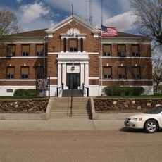
Fallon County, County in eastern Montana, United States

Description

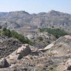
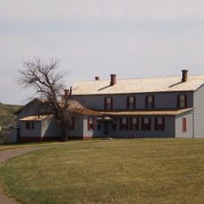
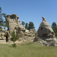
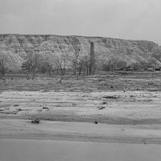
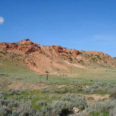
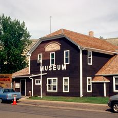
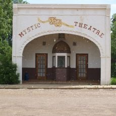
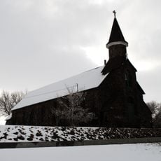
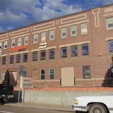
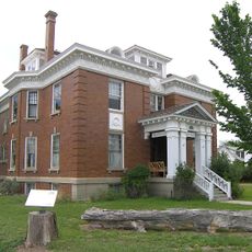
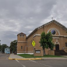
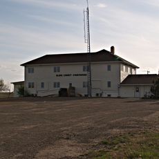
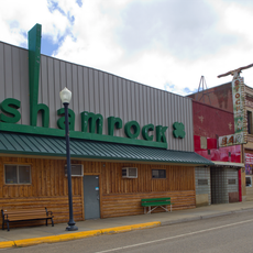
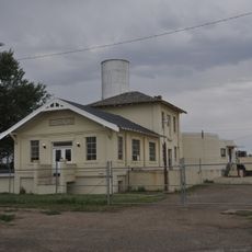
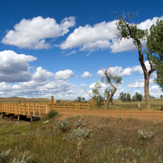
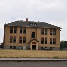
Fallon County is an administrative division in eastern Montana that spans a large territory with Baker as its main city. The area includes several scattered rural communities set within open, rolling landscape.

History

The county was established in 1913 when it separated from Custer County. It was named after Benjamin O'Fallon, an Indian agent who served in the upper Missouri region.

Culture

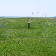
The county maintains strong agricultural traditions with ranching operations and farming activities shaping the daily lives of its 3,049 residents.

Practical

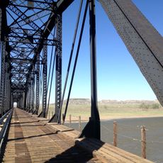
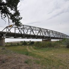
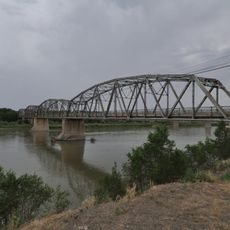
Two main highways, US Route 12 and Montana Route 7, cross through the county and connect its towns. A small airport near Baker offers air access for visitors traveling to the area.

Did you know?

The county's geographic position bordering North Dakota creates a natural gateway between the northern Great Plains states.

Location
Inception
1913
Capital city
Baker
Shares border with
Wibaux County, Carter County, Harding County, Golden Valley County, Prairie County, Custer County, Bowman County, Slope County
GPS coordinates
46.35000,-104.41000
Latest update
December 10, 2025 15:46

AroundUs brings together thousands of curated places, local tips, and hidden gems, enriched daily by 60,000 contributors worldwide. Discover all places nearby (Montana).

Around this place
United States of America

Medora Musical

91.2 km
Makoshika State Park
United States of America

Makoshika State Park

82.2 km
Chateau de Mores
United States of America

Chateau de Mores

91.7 km
Medicine Rocks State Park
United States of America

Medicine Rocks State Park

34.3 km
Fort Dilts
United States of America

Fort Dilts

49.4 km
De Mores Packing Plant Ruins
United States of America

De Mores Packing Plant Ruins

92.3 km
Yellowstone River Bridge
United States of America

Yellowstone River Bridge

78 km
Terry Badlands WSA
United States of America

Terry Badlands WSA

86.7 km
Carter County Museum
United States of America

Carter County Museum

52.2 km
Billings County Courthouse
United States of America

Billings County Courthouse

92.4 km
Mystic Theatre
United States of America

Mystic Theatre

37.9 km
Initial Rock
United States of America

Initial Rock

91.9 km
St. Peter's Catholic Church
United States of America

St. Peter's Catholic Church

72.9 km
Merrill Avenue Historic District
United States of America

Merrill Avenue Historic District

87.2 km
Charles Krug House
United States of America

Charles Krug House

87.3 km
Sacred Heart Church
United States of America

Sacred Heart Church

87.5 km
Original Slope County Courthouse
United States of America

Original Slope County Courthouse

84.8 km
Powder River Bridge
United States of America

Powder River Bridge

89.1 km
Golden Valley County Courthouse
United States of America

Golden Valley County Courthouse

70 km
Bell Street Bridge
United States of America

Bell Street Bridge

87.4 km
Wibaux Commercial Historic District
United States of America

Wibaux Commercial Historic District

72.9 km
Glendive City Water Filtration Plant
United States of America

Glendive City Water Filtration Plant

87.3 km
Cottonwood Creek Bridge
United States of America

Cottonwood Creek Bridge

31.4 km
Grandey Elementary School
United States of America

Grandey Elementary School

84.5 km
Northern Pacific Railroad Settling Tanks
United States of America

Northern Pacific Railroad Settling Tanks

87.5 km
Glendive Dinosaur & Fossil Museum
United States of America

Glendive Dinosaur & Fossil Museum

88.9 km
Blackstock Residence
United States of America

Blackstock Residence

87.3 km
Three V Crossing
United States of America

Three V Crossing

52.7 km
Show the full map
Administrative divisions
« Fallon County - County in eastern Montana, United States » is provided by Around Us (aroundus.com). Images and texts are derived from Wikimedia project under a Creative Commons license. You are allowed to copy, distribute, and modify copies of this page, under the conditions set by the license, as long as this note is clearly visible.

Discover hidden gems everywhere you go!

From secret cafés to breathtaking viewpoints, skip the crowded tourist spots and find places that match your style. Our app makes it easy with voice search, smart filtering, route optimization, and insider tips from travelers worldwide. Download now for the complete mobile experience.

Around Us App Screenshot

A unique approach to discovering new places

Le Figaro

All the places worth exploring

France Info

A tailor-made excursion in just a few clicks

20 Minutes

Around Us
Travel Guide & Maps
Download

Send to your phone

QR Code
1

Open the camera app on your mobile.

2

Point at the QR code with your camera. A notification will appear.

3

Tap the notification to open the link.