Prairie County, Administrative county in Montana, United States.
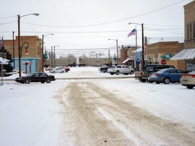
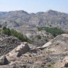
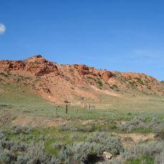
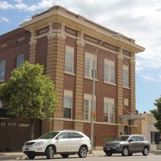
Prairie County is an administrative county in Montana that spans eastern grasslands with the Yellowstone River running through its southern reaches. The land features river valleys and rolling plains that connect Terry, the county seat, with surrounding rural communities.
The county was established in 1915 when the Montana Legislature combined portions of three neighboring counties into a new administrative division. This creation improved local governance and management of eastern Montana's rural areas.
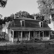
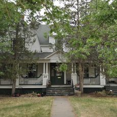
German and Norwegian settlers shaped local customs that remain visible in community gatherings and family traditions throughout the county. These European roots continue to influence how residents connect with their heritage and each other.
Interstate 94 cuts through the county from east to west, providing the main route through the region and linking to broader road networks. When visiting, plan for open road travel across flat terrain and allow adequate time for getting around.
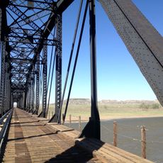
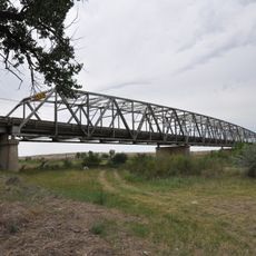
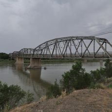
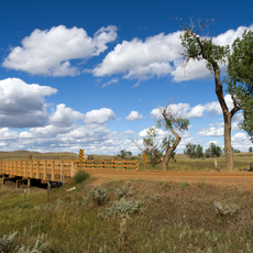
A train disaster struck at Custer Creek in 1938 when a bridge collapsed during a sudden flood, resulting in multiple casualties. This event remains a notable chapter in the region's history, underscoring the power of water in this landscape.
Location: Montana
Inception: May 2, 1915
Capital city: Terry
Shares border with: McCone County, Custer County, Garfield County, Dawson County, Wibaux County, Fallon County
Website: http://prairie.mt.gov
GPS coordinates: 46.85000,-105.37000
Latest update: December 10, 2025 15:47
Fort Keogh
65.8 km
Makoshika State Park
56.7 km
Yellowstone River Bridge
19.3 km
Main Street Historic District
61.5 km
Terry Badlands WSA
5.5 km
St. Peter's Catholic Church
90.9 km
Merrill Avenue Historic District
57.4 km
Miles City Waterworks Building and Pumping Plant Park
62.4 km
Charles Krug House
57.3 km
Sacred Heart Church
57.5 km
Powder River Bridge
13.3 km
Bell Street Bridge
57 km
Miles City Main Post Office
61.4 km
Ursuline Convent of the Sacred Heart
60.6 km
Glendive City Water Filtration Plant
57.2 km
Walrond and Elizabeth Snell House
61.1 km
Mountain States Telephone and Telegraph Company Building
61.2 km
George M. Miles House
60.8 km
Cottonwood Creek Bridge
62.4 km
East Main Street Residential Historic District
60.7 km
William Harmon House
61 km
Grandey Elementary School
8 km
Northern Pacific Railroad Settling Tanks
57.2 km
Glendive Dinosaur & Fossil Museum
59.9 km
Thomas and Beulah Shore House
61 km
Blackstock Residence
57.4 km
Montana Theatre
61.3 km
Park Theatre
61.3 kmVisited this place? Tap the stars to rate it and share your experience / photos with the community! Try now! You can cancel it anytime.
Discover hidden gems everywhere you go!
From secret cafés to breathtaking viewpoints, skip the crowded tourist spots and find places that match your style. Our app makes it easy with voice search, smart filtering, route optimization, and insider tips from travelers worldwide. Download now for the complete mobile experience.
A unique approach to discovering new places❞
— Le Figaro
All the places worth exploring❞
— France Info
A tailor-made excursion in just a few clicks❞
— 20 Minutes