Enable Location

We need your location to show you interesting places around you

Discover nearby places

Find interesting locations and hidden gems around you

Precise directions

Get accurate directions and distances to places

Your location is never shared with other users. It's only used when you tap the location button.

Fort Keogh

Log in to your account

Start exploring — it's free

Trusted by 63,102 travelers worldwide

Continue with Google
Continue with Apple
or

We will send you a code to connect

By continuing, you accept our Terms and Conditions and our Privacy Policy

Check your inbox

We've sent a pincode in your inbox. Please enter the code below.

Discussion Reviews 1 Photos
10.6k Popularity

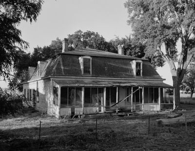
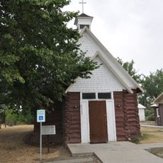
Fort Keogh, Military fort complex in Miles City, Montana

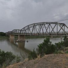
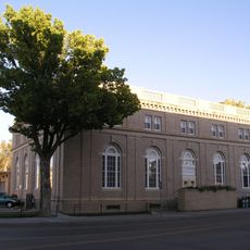
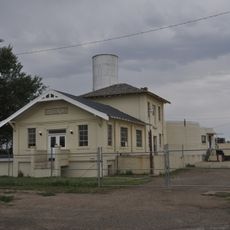
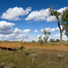
Fort Keogh is a former military complex along the Yellowstone River in Miles City that now houses USDA research facilities including laboratories and grazing lands. The site spans thousands of acres where scientists study livestock breeding, animal health, and rangeland management.

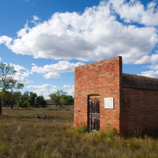
Colonel Nelson Miles established the fort in 1876 following the Battle of Little Bighorn to monitor Native American movements toward Canada. After World War I, it became the largest remount station for military horses before being converted into a research center.

The fort transformed from a military installation to the largest remount station during World War I, supplying horses for military operations worldwide.

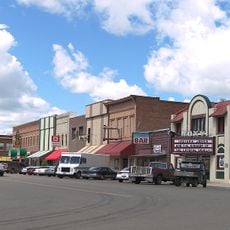
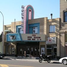
The site is accessible by car and offers areas to explore both the historical and modern research facilities. Visitors should wear appropriate clothing for variable weather and be prepared for distances across the grounds.

A record-size snowflake was documented here in 1887, making it a notable spot in meteorological history. This unusual weather event from over a century ago remains one of the most remarkable natural observations recorded at the location.

The community of curious travelers

AroundUs brings together thousands of curated places, local tips, and hidden gems, enriched daily by 60,000 contributors worldwide.

Start exploring
Location
Inception
1876
GPS coordinates
46.37560,-105.88300
Latest update
December 8, 2025 19:51
Around this place
Makoshika State Park
United States of America

Makoshika State Park

118.8 km
Medicine Rocks State Park
United States of America

Medicine Rocks State Park

114.8 km
Deer Medicine Rocks
United States of America

Deer Medicine Rocks

98.2 km
Yellowstone River Bridge
United States of America

Yellowstone River Bridge

79.3 km
Main Street Historic District
United States of America

Main Street Historic District

4.3 km
Terry Badlands WSA
United States of America

Terry Badlands WSA

65.5 km
Carter County Museum
United States of America

Carter County Museum

116.4 km
Yucca Theatre
United States of America

Yucca Theatre

104.2 km
Holy Rosary Hospital
United States of America

Holy Rosary Hospital

5.3 km
Miles City Waterworks Building and Pumping Plant Park
United States of America

Miles City Waterworks Building and Pumping Plant Park

3.6 km
Powder River Bridge
United States of America

Powder River Bridge

53.2 km
Bell Street Bridge
United States of America

Bell Street Bridge

120.4 km
Miles City Main Post Office
United States of America

Miles City Main Post Office

4.4 km
Ursuline Convent of the Sacred Heart
United States of America

Ursuline Convent of the Sacred Heart

5.1 km
Glendive City Water Filtration Plant
United States of America

Glendive City Water Filtration Plant

120.5 km
Walrond and Elizabeth Snell House
United States of America

Walrond and Elizabeth Snell House

4.7 km
Mountain States Telephone and Telegraph Company Building
United States of America

Mountain States Telephone and Telegraph Company Building

4.5 km
George M. Miles House
United States of America

George M. Miles House

5 km
Ismay Jail
United States of America

Ismay Jail

84.7 km
Cottonwood Creek Bridge
United States of America

Cottonwood Creek Bridge

84.5 km
William Harmon House
United States of America

William Harmon House

4.7 km
East Main Street Residential Historic District
United States of America

East Main Street Residential Historic District

5.2 km
Rosebud County Courthouse
United States of America

Rosebud County Courthouse

62.1 km
Grandey Elementary School
United States of America

Grandey Elementary School

63.8 km
Thomas and Beulah Shore House
United States of America

Thomas and Beulah Shore House

5 km
St. Philip's Episcopal Church
United States of America

St. Philip's Episcopal Church

44.2 km
Forsyth Main Street Historic District
United States of America

Forsyth Main Street Historic District

62.4 km
Montana Theatre
United States of America

Montana Theatre

4.5 km
Show the full map
Reviews
Share your experience

No review yet

Discussions
Start a discussion...

No discussion yet

« Fort Keogh - Military fort complex in Miles City, Montana » is provided by Around Us (aroundus.com). Images and texts are derived from Wikimedia project under a Creative Commons license. You are allowed to copy, distribute, and modify copies of this page, under the conditions set by the license, as long as this note is clearly visible.

Discover hidden gems everywhere you go!

From secret cafés to breathtaking viewpoints, skip the crowded tourist spots and find places that match your style. Our app makes it easy with voice search, smart filtering, route optimization, and insider tips from travelers worldwide. Download now for the complete mobile experience.

Around Us App Screenshot

A unique approach to discovering new places

Le Figaro

All the places worth exploring

France Info

A tailor-made excursion in just a few clicks

20 Minutes

Around Us
Travel Guide & Maps
Download

Send to your phone

QR Code
1

Open the camera app on your mobile.

2

Point at the QR code with your camera. A notification will appear.

3

Tap the notification to open the link.