Custer County

Log in to your account

AroundUs is a community-driven map of interesting places, built by curious explorers like you. It grows with every review, story, and photo you share.
Connect to save your favorite spots, contribute locations, and create personalized routes.
Continue with Google
Continue with Apple
Continue with X
Continue with Facebook
Continue with email
By continuing, you accept our Terms and Conditions and our Privacy Policy
Create an account
Add to collection
Map
Suggest a change
Share

Custer County, County in southeastern Montana, United States.

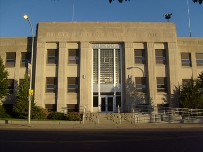
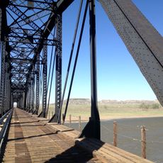
Custer County is an administrative county in southeastern Montana with Miles City serving as its county seat. The region includes several smaller unincorporated communities and is connected by major highways including Interstate 94.

The territory was established in 1865 as Big Horn County and renamed in 1877 to honor Lieutenant Colonel George Armstrong Custer. This change marked a significant shift in how the region identified itself administratively.

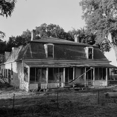
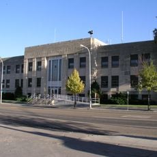
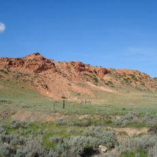
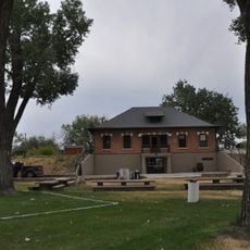
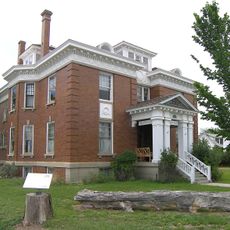
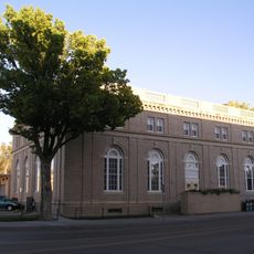
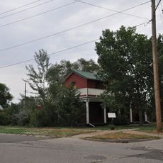
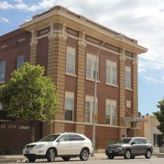
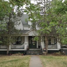
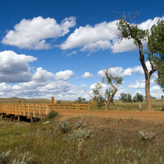
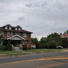
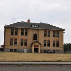
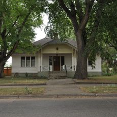
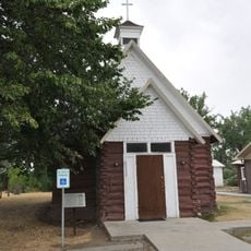
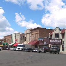
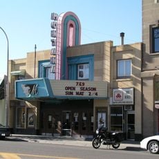
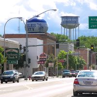
Ranching and farming shape daily life in the area, with Miles City serving as the commercial and social hub where locals gather for business and community events. The landscape and settlements reflect generations of cattle-raising traditions.

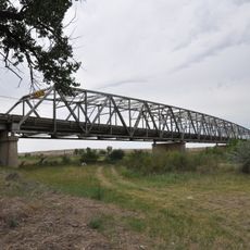
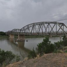
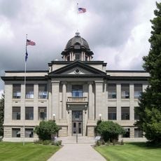
Travel via Interstate 94, US Highway 12, or US Highway 212 to move between the county's communities. Miles City is where you will find government offices and essential services for visitors.

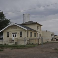
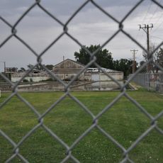
The county opened a modern detention center in 2015 that replaced a facility serving the community for over a century. This newer structure represents a significant infrastructure upgrade for the region.

Location: Montana

Inception: 1865

Capital city: Miles City

Shares border with: Prairie County, Powder River County, Fallon County, Carter County, Garfield County, Rosebud County

Website: https://custercountymt.gov

GPS coordinates: 46.27000,-105.58000

Latest update: December 10, 2025 15:55

Photos
Around this place
Fort Keogh
United States of America

Fort Keogh

26.1 km
Makoshika State Park
United States of America

Makoshika State Park

111.3 km
Medicine Rocks State Park
United States of America

Medicine Rocks State Park

89.1 km
Yellowstone River Bridge
United States of America

Yellowstone River Bridge

74.2 km
Main Street Historic District
United States of America

Main Street Historic District

25.5 km
Terry Badlands WSA
United States of America

Terry Badlands WSA

64.1 km
Carter County Museum
United States of America

Carter County Museum

90.3 km
Miles City Waterworks Building and Pumping Plant Park
United States of America

Miles City Waterworks Building and Pumping Plant Park

26.8 km
Charles Krug House
United States of America

Charles Krug House

114.1 km
Powder River Bridge
United States of America

Powder River Bridge

53.3 km
Bell Street Bridge
United States of America

Bell Street Bridge

113.9 km
Miles City Main Post Office
United States of America

Miles City Main Post Office

25.7 km
Ursuline Convent of the Sacred Heart
United States of America

Ursuline Convent of the Sacred Heart

25.6 km
Glendive City Water Filtration Plant
United States of America

Glendive City Water Filtration Plant

114 km
Walrond and Elizabeth Snell House
United States of America

Walrond and Elizabeth Snell House

24.8 km
Mountain States Telephone and Telegraph Company Building
United States of America

Mountain States Telephone and Telegraph Company Building

25.5 km
George M. Miles House
United States of America

George M. Miles House

25 km
Cottonwood Creek Bridge
United States of America

Cottonwood Creek Bridge

64.2 km
East Main Street Residential Historic District
United States of America

East Main Street Residential Historic District

25 km
William Harmon House
United States of America

William Harmon House

25.7 km
Rosebud County Courthouse
United States of America

Rosebud County Courthouse

84.3 km
Grandey Elementary School
United States of America

Grandey Elementary School

61.7 km
Northern Pacific Railroad Settling Tanks
United States of America

Northern Pacific Railroad Settling Tanks

114.1 km
Thomas and Beulah Shore House
United States of America

Thomas and Beulah Shore House

24.4 km
St. Philip's Episcopal Church
United States of America

St. Philip's Episcopal Church

66.2 km
Forsyth Main Street Historic District
United States of America

Forsyth Main Street Historic District

84.5 km
Montana Theatre
United States of America

Montana Theatre

25.6 km
Park Theatre
United States of America

Park Theatre

25.7 km
Show the full map
Reviews

Visited this place? Tap the stars to rate it and share your experience / photos with the community! Try now! You can cancel it anytime.

Administrative divisions
« Custer County - County in southeastern Montana, United States » is provided by Around Us (aroundus.com). Images and texts are derived from Wikimedia project under a Creative Commons license. You are allowed to copy, distribute, and modify copies of this page, under the conditions set by the license, as long as this note is clearly visible.

Discover hidden gems everywhere you go!

From secret cafés to breathtaking viewpoints, skip the crowded tourist spots and find places that match your style. Our app makes it easy with voice search, smart filtering, route optimization, and insider tips from travelers worldwide. Download now for the complete mobile experience.

Around Us App Screenshot

A unique approach to discovering new places

Le Figaro

All the places worth exploring

France Info

A tailor-made excursion in just a few clicks

20 Minutes