Wibaux County

Log in to your account

AroundUs is a community-driven map of interesting places, built by curious explorers like you. It grows with every review, story, and photo you share.
Connect to save your favorite spots, contribute locations, and create personalized routes.
Continue with Google
Continue with Apple
Continue with X
Continue with Facebook
Continue with email
By continuing, you accept our Terms and Conditions and our Privacy Policy
Create an account
Add to collection
Map
Suggest a change
Share

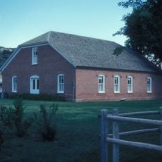
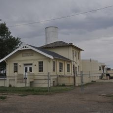
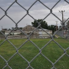
Wibaux County, Administrative county in eastern Montana, United States.

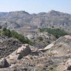
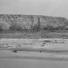
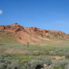
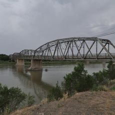
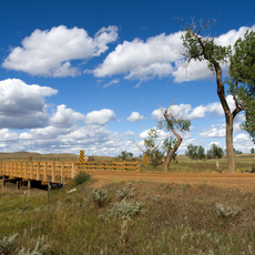
Wibaux County is an administrative county in eastern Montana covering about 890 square miles of terrain. Beaver Creek flows through the area and the Lamesteer National Wildlife Refuge is located within its boundaries.

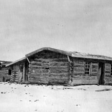
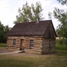
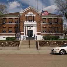
The county was established by the Montana Legislature in 1914 from portions of Dawson, Fallon, and Richland Counties. This reorganization created a new administrative region focused on agricultural development.

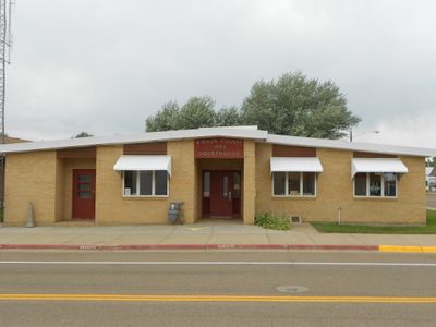
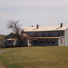
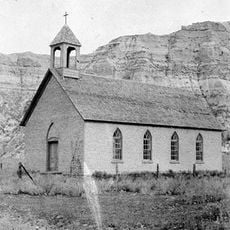
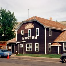
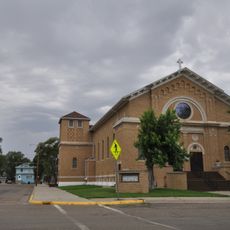
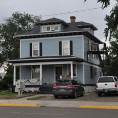
German, Polish, and Irish heritage shapes the local identity and community life here. Annual celebrations in the county seat of Wibaux showcase these cultural traditions and their importance to residents.

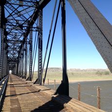
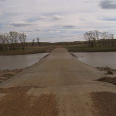
Interstate 94 and Montana Highway 7 serve as the primary access routes through the area. Visitors should plan for longer travel times since services and population centers are spread across the landscape.

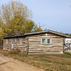
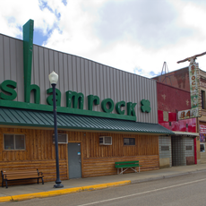
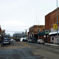
This is one of the least populated counties in Montana with fewer than 1,000 residents spread across the landscape. Despite its small population, agriculture remains the backbone of the local economy and way of life.

Location: Montana

Inception: 1914

Capital city: Wibaux

Shares border with: Richland County, Fallon County, Golden Valley County, Dawson County, Prairie County, McKenzie County

Website: http://wibauxcounty.com

GPS coordinates: 46.96000,-104.25000

Latest update: December 10, 2025 16:03

Photos
Around this place
United States of America

Medora Musical

53.8 km
Elkhorn Ranch
United States of America

Elkhorn Ranch

56.6 km
Makoshika State Park
United States of America

Makoshika State Park

35.4 km
Theodore Roosevelt's Maltese Cross Cabin
United States of America

Theodore Roosevelt's Maltese Cross Cabin

55.2 km
Chateau de Mores
United States of America

Chateau de Mores

54.8 km
De Mores Packing Plant Ruins
United States of America

De Mores Packing Plant Ruins

55.1 km
Peaceful Valley Ranch
United States of America

Peaceful Valley Ranch

56.7 km
Yellowstone River Bridge
United States of America

Yellowstone River Bridge

66.9 km
Von Hoffman House
United States of America

Von Hoffman House

55.6 km
St. Mary's Catholic Church
United States of America

St. Mary's Catholic Church

55.5 km
Terry Badlands WSA
United States of America

Terry Badlands WSA

82.7 km
Billings County Courthouse
United States of America

Billings County Courthouse

55.6 km
Initial Rock
United States of America

Initial Rock

66.1 km
St. Peter's Catholic Church
United States of America

St. Peter's Catholic Church

5.4 km
Merrill Avenue Historic District
United States of America

Merrill Avenue Historic District

38.6 km
Charles Krug House
United States of America

Charles Krug House

38.9 km
Sacred Heart Church
United States of America

Sacred Heart Church

38.9 km
Peoples' Congregational Church
United States of America

Peoples' Congregational Church

84.3 km
Golden Valley County Courthouse
United States of America

Golden Valley County Courthouse

19.4 km
Bell Street Bridge
United States of America

Bell Street Bridge

39.1 km
Wibaux Commercial Historic District
United States of America

Wibaux Commercial Historic District

5.6 km
Glendive City Water Filtration Plant
United States of America

Glendive City Water Filtration Plant

39 km
Cottonwood Creek Bridge
United States of America

Cottonwood Creek Bridge

69.5 km
Northern Pacific Railroad Settling Tanks
United States of America

Northern Pacific Railroad Settling Tanks

39 km
Glendive Dinosaur & Fossil Museum
United States of America

Glendive Dinosaur & Fossil Museum

38.2 km
Blackstock Residence
United States of America

Blackstock Residence

38.8 km
Three V Crossing
United States of America

Three V Crossing

56.9 km
Elkhorn Ranch State Historic Site
United States of America

Elkhorn Ranch State Historic Site

57.5 km
Show the full map
Reviews

Visited this place? Tap the stars to rate it and share your experience / photos with the community! Try now! You can cancel it anytime.

Administrative divisions
« Wibaux County - Administrative county in eastern Montana, United States » is provided by Around Us (aroundus.com). Images and texts are derived from Wikimedia project under a Creative Commons license. You are allowed to copy, distribute, and modify copies of this page, under the conditions set by the license, as long as this note is clearly visible.

Discover hidden gems everywhere you go!

From secret cafés to breathtaking viewpoints, skip the crowded tourist spots and find places that match your style. Our app makes it easy with voice search, smart filtering, route optimization, and insider tips from travelers worldwide. Download now for the complete mobile experience.

Around Us App Screenshot

A unique approach to discovering new places

Le Figaro

All the places worth exploring

France Info

A tailor-made excursion in just a few clicks

20 Minutes