Milk River Natural Area, Natural area in Cypress County, Canada.
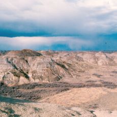
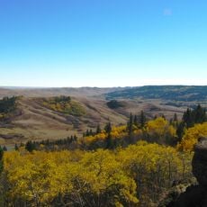
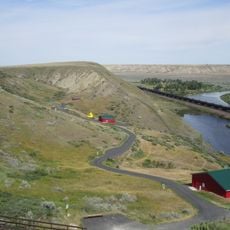
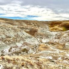
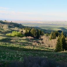
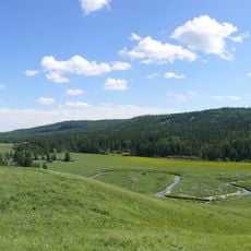
Milk River Natural Area is a 5,344-hectare provincial protected area in southeastern Alberta, mostly in the County of Forty Mile. Its main feature is the Milk River Canyon, up to 1,500 metres wide and 150 metres deep, cut into sandstone, siltstone and carbonaceous shale of the Oldman and Foremost Formations. The canyon is the deepest in the Canadian plains.
The area gained official protection as Alberta's 100th designated nature zone in 1987. This designation was intended to safeguard the region's geological and ecological values for the future.
Before European contact, Blackfoot people hunted, gathered and camped throughout the Milk River area, leaving projectile points that suggest sporadic habitation since the end of the last glaciation. Archaeological sites across the natural area record this long use of the land.
Local roads can become impassable after heavy rain, so plan your visit with weather conditions in mind. Cell phone service is weak or absent throughout the area, so bring maps or offline navigation.
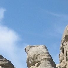
The Milk River is the only river in Alberta that drains to the Gulf of Mexico, joining the Missouri River near Nashua, Montana. The natural area also holds one of only five exposed igneous dikes in the Canadian plains, nicknamed the "Rooster Comb" for its size and shape.
The community of curious travelers
AroundUs brings together thousands of curated places, local tips, and hidden gems, enriched daily by 94,452 contributors worldwide.