Enable Location

We need your location to show you interesting places around you

Discover nearby places

Find interesting locations and hidden gems around you

Precise directions

Get accurate directions and distances to places

Your location is never shared with other users. It's only used when you tap the location button.

Fort Assinniboine

Log in to your account

Start exploring — it's free

Trusted by travelers worldwide

Continue with Google
Continue with Apple
or

We will send you a code to connect

By continuing, you accept our Terms and Conditions and our Privacy Policy

Check your inbox

We've sent a pincode in your inbox. Please enter the code below.

Fort Assinniboine, Military fort in Hill County, Montana, United States.

Description

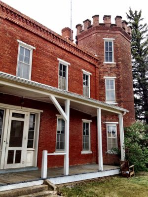
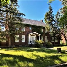
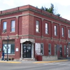
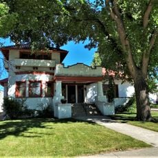
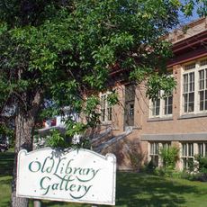
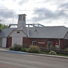
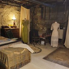
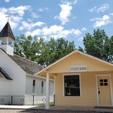
Fort Assinniboine is a historic military post in Montana with over 100 buildings spread across its grounds, representing one of the largest installations from the state's territorial period. The complex now serves as an agricultural research center operated by Montana State University.

History

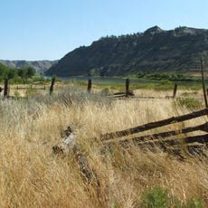
The Army built the post in 1879 following the Great Sioux War to maintain order and defend settlers across northern Montana. It became a key strategic location during a period of significant territorial expansion and settlement.

Culture

The 10th Cavalry Buffalo Soldiers, African-American troops, established their headquarters at the fort from 1892 onward and shaped military operations across the region. Their presence left a lasting mark on the post and the surrounding community.

Practical

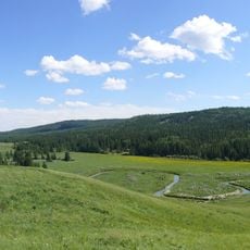
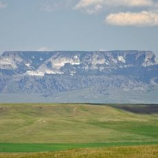
The grounds are accessible today as an agricultural research center, with many of the historic buildings preserved and available to visit. Since it remains an active research facility, certain areas may have limited access depending on ongoing projects and activities.

Did you know?

The future General John Pershing commanded troops at the post before rising to lead the American Expeditionary Force during World War I. His early service there helped shape the leadership skills that would define his later career.

Location
Inception
1879
GPS coordinates
48.49972,-109.79417
Latest update
December 10, 2025 20:01

AroundUs brings together thousands of curated places, local tips, and hidden gems, enriched daily by 60,000 contributors worldwide. Discover all places nearby (Hill County).

Around this place
Dinosaur Park Formation
Canada

Dinosaur Park Formation

89.7 km
Bearpaw Shale
Canada

Bearpaw Shale

35.3 km
Cypress Hills Interprovincial Park
Canada

Cypress Hills Interprovincial Park

120.7 km
Eye of the Needle
United States of America

Eye of the Needle

68.5 km
Too Close For Comfort Site
United States of America

Too Close For Comfort Site

9 km
Fred Robinson Bridge
United States of America

Fred Robinson Bridge

127.1 km
Fort Benton Historic District
United States of America

Fort Benton Historic District

99.8 km
Skyland Camp-Bowman Lake Ranger Station
United States of America

Skyland Camp-Bowman Lake Ranger Station

122.8 km
Fort Benton Bridge
United States of America

Fort Benton Bridge

99.6 km
Havre Residential Historic District
United States of America

Havre Residential Historic District

10.1 km
Judith Landing Historic District
United States of America

Judith Landing Historic District

85.8 km
Dave's Texaco
United States of America

Dave's Texaco

42.7 km
H. Earl Clack House
United States of America

H. Earl Clack House

10 km
First State Bank of Chester
United States of America

First State Bank of Chester

86.3 km
Young–Almas House
United States of America

Young–Almas House

13.4 km
Carnegie Public Library
United States of America

Carnegie Public Library

10.3 km
Chouteau County Courthouse
United States of America

Chouteau County Courthouse

99.7 km
Masonic Building
United States of America

Masonic Building

99.6 km
Ervin Homestead-Gist Bottom Historic District
United States of America

Ervin Homestead-Gist Bottom Historic District

96.8 km
Fort Benton Engine House
United States of America

Fort Benton Engine House

99.6 km
Cypress Hills Provincial Park
Canada

Cypress Hills Provincial Park

129.8 km
Havre Beneath the Streets
United States of America

Havre Beneath the Streets

10.4 km
Old Fort Benton
United States of America

Old Fort Benton

99.4 km
Cypress Hills massacre site
Canada

Cypress Hills massacre site

117.1 km
Grand Theater
United States of America

Grand Theater

74.4 km
Montana Agricultural Center
United States of America

Montana Agricultural Center

99.2 km
Square Butte
United States of America

Square Butte

118.8 km
Chief Joseph Battleground of the Bear's Paw
United States of America

Chief Joseph Battleground of the Bear's Paw

45.4 km
Show the full map
« Fort Assinniboine - Military fort in Hill County, Montana, United States » is provided by Around Us (aroundus.com). Images and texts are derived from Wikimedia project under a Creative Commons license. You are allowed to copy, distribute, and modify copies of this page, under the conditions set by the license, as long as this note is clearly visible.

Discover hidden gems everywhere you go!

From secret cafés to breathtaking viewpoints, skip the crowded tourist spots and find places that match your style. Our app makes it easy with voice search, smart filtering, route optimization, and insider tips from travelers worldwide. Download now for the complete mobile experience.

Around Us App Screenshot

A unique approach to discovering new places

Le Figaro

All the places worth exploring

France Info

A tailor-made excursion in just a few clicks

20 Minutes

Around Us
Travel Guide & Maps
Download

Send to your phone

QR Code
1

Open the camera app on your mobile.

2

Point at the QR code with your camera. A notification will appear.

3

Tap the notification to open the link.