Dakota Territory, Former U.S. territory in northern Great Plains, United States.
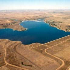
Dakota Territory was an administrative region in the northern Great Plains that today forms the states of North Dakota and South Dakota. It covered wide prairies, rolling hills, and the broad valleys of the Missouri River and its tributaries.
Congress created the region during the Civil War and reduced its size several times before splitting it into two separate states. Dissolution occurred on the same day in November when both territories joined the Union simultaneously.
The territory held significance for multiple Native American nations, particularly the Dakota people, who maintained settlements throughout the region before territorial organization.
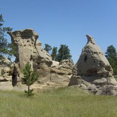
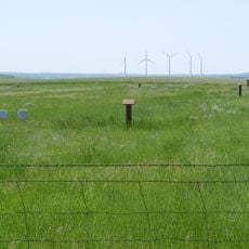
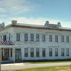
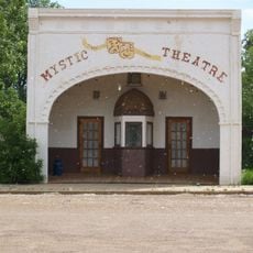
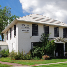
The arrival of rail lines in the late 19th century changed settlement patterns and made previously difficult areas accessible. Many towns from that period still preserve their original layout and offer insight into early Plains settlement.
The capital changed location during the territorial era and moved north to the Missouri River. This relocation reflected the growing importance of river trade and railroad connections in the region.
The community of curious travelers
AroundUs brings together thousands of curated places, local tips, and hidden gems, enriched daily by 60,000 contributors worldwide.