Chest opened
+${chestReward.xp} XP
Explorer
NOUVEAU ×${chestReward.collectible.quantity}
tapez pour fermer
Chest locked

Open chests in the app

Around Us is built for your phone — chests unlock when you walk, explore and capture nearby places.

Enable Location

We need your location to show you interesting places around you

Discover nearby places

Find interesting locations and hidden gems around you

Precise directions

Get accurate directions and distances to places

Your location is never shared with other users. It's only used when you tap the location button.

Log in to your account

Start exploring — it's free

Trusted by 72,969 travelers worldwide

Continue with Google
Continue with Apple
or

We will send you a code to connect

By continuing, you accept our Terms and Conditions and our Privacy Policy

Check your inbox

We've sent a pincode in your inbox. Please enter the code below.

Karta River Wilderness
Discussion Reviews Photo
1.3k Popularity

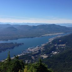
Karta River Wilderness, Protected wilderness area on Prince of Wales Island, Alaska.

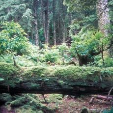
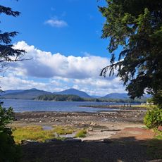
Karta River Wilderness is a protected natural area on Prince of Wales Island where multiple waterways and lakes wind through old-growth forests. The landscape combines coastal features with inland valleys and forest zones that support diverse plant and animal life.

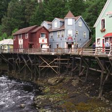
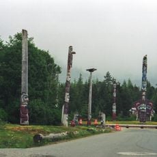
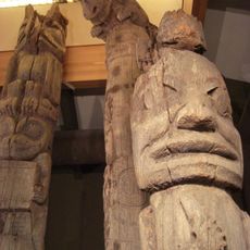
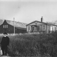
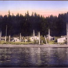
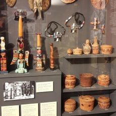
Haida communities developed settlements around Karta Bay, establishing themselves as skilled users of salmon runs and forest resources. The area reflects a long history of Indigenous presence and resource management in Southeast Alaska.

The river remains a place where fishing communities practice time-honored methods of preparing salmon for food and trade. The way people use these waterways reflects practices passed down through generations in this region.

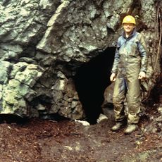
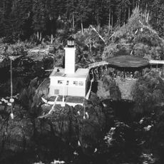
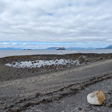
Access to the wilderness requires a float plane or boat, as there are no roads into the area. Three rental cabins operated by the Forest Service offer shelter with basic heating for visitors spending time in this remote location.

Five Pacific salmon species return annually to spawn in these waters, drawing bears and wolves to the region for seasonal hunting. This concentration of predators and prey in one remote location creates rare wildlife viewing opportunities for those willing to venture into the backcountry.

The community of curious travelers

AroundUs brings together thousands of curated places, local tips, and hidden gems, enriched daily by 60,000 contributors worldwide.

Start exploring
Location
GPS coordinates
55.57500,-132.73300
Latest update
December 14, 2025 17:40
Around this place
On Your Knees Cave
United States of America

On Your Knees Cave

100 km
Creek Street
United States of America

Creek Street

73.6 km
Saxman Totem Park
United States of America

Saxman Totem Park

77.3 km
Totem Heritage Center
United States of America

Totem Heritage Center

74 km
Forrester Island Wilderness
United States of America

Forrester Island Wilderness

99.7 km
Cape Decision Light
United States of America

Cape Decision Light

99.8 km
Deer Mountain
United States of America

Deer Mountain

76.1 km
Ketchikan Federal Building
United States of America

Ketchikan Federal Building

73.5 km
Guard Island Light
United States of America

Guard Island Light

55.6 km
Lincoln Rock Light
United States of America

Lincoln Rock Light

53.7 km
St. Philip's Episcopal Church
United States of America

St. Philip's Episcopal Church

102.4 km
Burkhart-Dibrell House
United States of America

Burkhart-Dibrell House

73.3 km
Father William Duncan House
United States of America

Father William Duncan House

87.8 km
Gilmore Building
United States of America

Gilmore Building

73.2 km
Chief Son-I-Hat's Whale House and Totems Historic District
United States of America

Chief Son-I-Hat's Whale House and Totems Historic District

20.1 km
Stedman-Thomas Historic District
United States of America

Stedman-Thomas Historic District

73.7 km
Chief Kashakes House
United States of America

Chief Kashakes House

77.2 km
Walker-Broderick House
United States of America

Walker-Broderick House

73.2 km
Etolin Canoe
United States of America

Etolin Canoe

69.3 km
Ziegler House
United States of America

Ziegler House

73.3 km
Ketchikan Ranger House
United States of America

Ketchikan Ranger House

72.5 km
Downtown Ketchikan Historic District
United States of America

Downtown Ketchikan Historic District

74.2 km
Totem Heritage Center
United States of America

Totem Heritage Center

74 km
Rotary Beach
United States of America

Rotary Beach

78.6 km
Fishing. Ketchikan adventure tours
United States of America

Fishing. Ketchikan adventure tours

73.7 km
South Point Higgins Beach
United States of America

South Point Higgins Beach

58.6 km
United States of America

Beta Rock

55.9 km
United States of America

McHenry Ledge

35.3 km
Show the full map
Reviews
Share your experience

No review yet

Discussions
Start a discussion...

No discussion yet

« Karta River Wilderness - Protected wilderness area on Prince of Wales Island, Alaska » is provided by Around Us (aroundus.com). Images and texts are derived from Wikimedia project under a Creative Commons license. You are allowed to copy, distribute, and modify copies of this page, under the conditions set by the license, as long as this note is clearly visible.

Discover hidden gems everywhere you go!

From secret cafés to breathtaking viewpoints, skip the crowded tourist spots and find places that match your style. Our app makes it easy with voice search, smart filtering, route optimization, and insider tips from travelers worldwide. Download now for the complete mobile experience.

Around Us App Screenshot

A unique approach to discovering new places

Le Figaro

All the places worth exploring

France Info

A tailor-made excursion in just a few clicks

20 Minutes

Around Us
Travel Guide & Maps
Download

Send to your phone

QR Code
1

Open the camera app on your mobile.

2

Point at the QR code with your camera. A notification will appear.

3

Tap the notification to open the link.