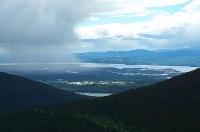
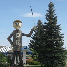
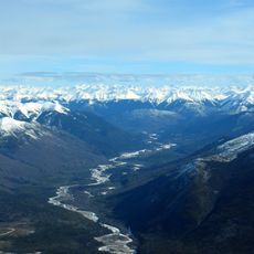
Mackenzie, district municipality in British Columbia, Canada
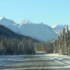
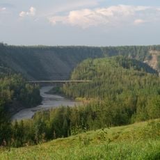
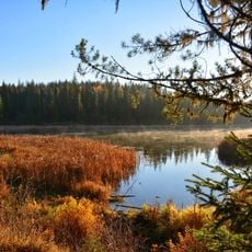
Mackenzie is a small community in the Fraser-Fort George region, surrounded by forests and mountains. The town has approximately 3,300 residents and spans just over 200 square kilometers with winding roads through natural terrain.
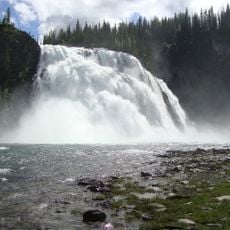
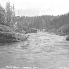
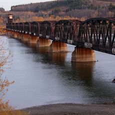
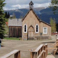
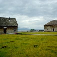
Mackenzie grew around the logging industry many years ago, with the surrounding forests long supporting the local economy. The town's history is closely tied to the development of natural resource industries, particularly forestry.
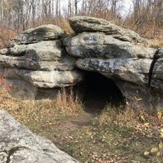
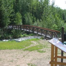
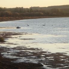
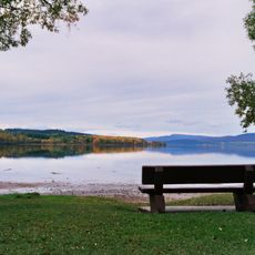
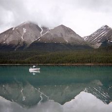
The people here value their connection to nature and spend leisure time in parks and on trails. Community gatherings often take place outdoors, where residents and visitors celebrate the forests and open spaces together.
Getting around Mackenzie is straightforward, as most places are accessible by winding roads through town. It is best to visit during warmer months to fully enjoy the parks and natural areas.
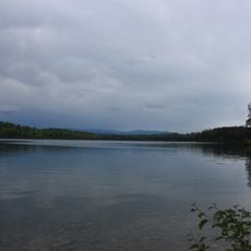
A surprising aspect is how quiet and clean the streets are, giving the place a relaxed feel. Many visitors report hearing only birdsong and wind when walking through the parks in early mornings.
The community of curious travelers
AroundUs brings together thousands of curated places, local tips, and hidden gems, enriched daily by 60,000 contributors worldwide.