
Cameron Street Bridge, bridge in Canada
Location: British Columbia
Official opening: August 24, 2009
GPS coordinates: 53.92730,-122.76700
Latest update: March 31, 2025 20:29
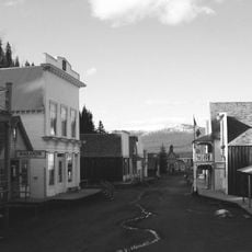
Barkerville
126.7 km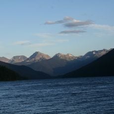
Bowron Lake Provincial Park
139.9 km
Willmore Wilderness Park
245.2 km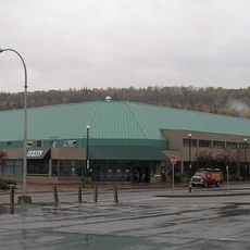
CN Centre
3.4 km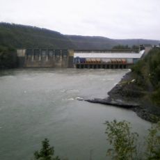
Peace Canyon Dam
234 km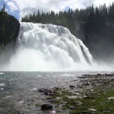
Kinuseo Falls
139.8 km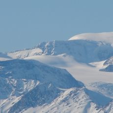
Mount Sir Wilfrid Laurier
237.5 km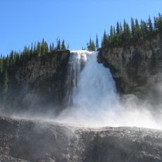
Emperor Falls
251.8 km
Chilcotin River
205.5 km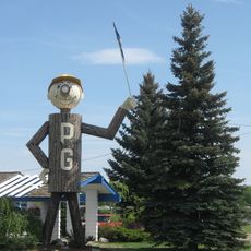
Mr. PG
3.4 km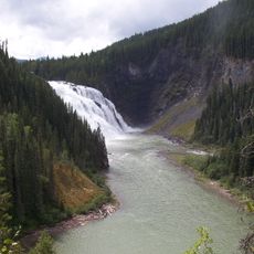
Monkman Provincial Park
127.3 km
Kakwa Provincial Park and Protected Area
162.7 km
Prince George Coliseum
2.1 km
Farwell Canyon
233.5 km
Rearguard Falls Provincial Park
249.7 km
Prince George Railway and Forestry Museum
2.4 km
Sugarbowl-Grizzly Den Provincial Park and Protected Area
77.5 km
Rearguard Falls
249.7 km
Beaumont Provincial Park
121.9 km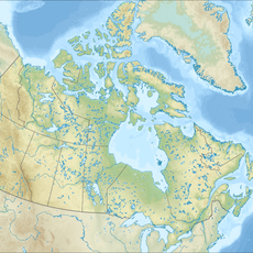
Crooked River Provincial Park
61.2 km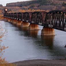
Prince George CNR Bridge
3.9 km
Cariboo Mountains Provincial Park
189.2 km
Heather-Dina Lakes Provincial Park
179.5 km
Bull Canyon Provincial Park
208.4 km
Ten Mile Lake Provincial Park
97.4 km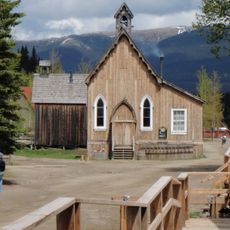
St. Saviour's Anglican Church
126.5 km
Big Creek Canyon
231.3 km
Mount Bess
232.9 kmReviews
Visited this place? Tap the stars to rate it and share your experience / photos with the community! Try now! You can cancel it anytime.
Discover hidden gems everywhere you go!
From secret cafés to breathtaking viewpoints, skip the crowded tourist spots and find places that match your style. Our app makes it easy with voice search, smart filtering, route optimization, and insider tips from travelers worldwide. Download now for the complete mobile experience.

A unique approach to discovering new places❞
— Le Figaro
All the places worth exploring❞
— France Info
A tailor-made excursion in just a few clicks❞
— 20 Minutes