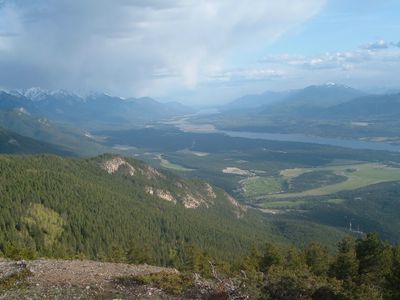
Rocky Mountain Trench, Valley formation in British Columbia and Montana, Canada and United States.
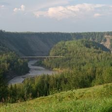
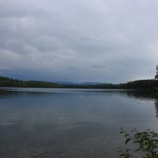
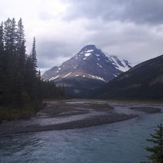
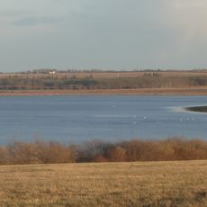
The Rocky Mountain Trench is a deep valley running roughly 1600 kilometers from Flathead Lake in Montana to the Liard River at the British Columbia-Yukon border. The formation cuts through mountain ranges and creates a natural corridor where several major river systems flow in different directions.
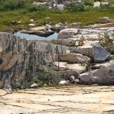
The trench formed through tectonic activity involving strike-slip faults in its northern section and normal faults in the southern area. These geological movements shaped the valley into the landscape feature we see today over millions of years.
First Nations communities traditionally traveled through the northern section of the trench, establishing routes that connected different regions of their territories.
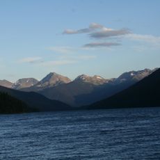
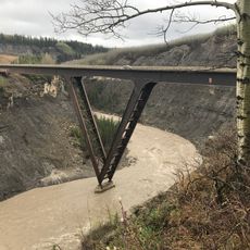
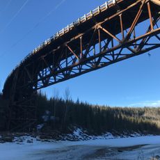
The area is accessible by roads that run through the valley, offering various viewing points along the way. Weather conditions vary significantly depending on elevation and season, so visitors should come prepared with proper footwear and weather protection.
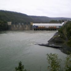
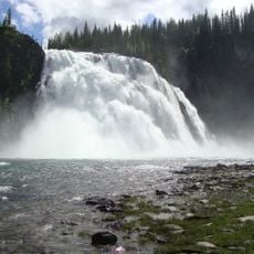
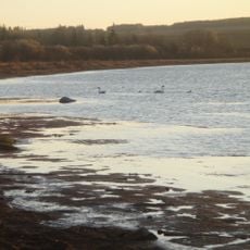
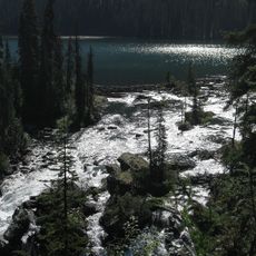
The trench contains four major river systems that flow in opposite directions, creating a remarkable water divide. The Columbia and Fraser rivers flow toward the Pacific Ocean while the Peace and Liard rivers drain toward the Arctic Ocean, making this valley a geographic junction between two different ocean basins.
The community of curious travelers
AroundUs brings together thousands of curated places, local tips, and hidden gems, enriched daily by 60,000 contributors worldwide.