
All Saints Anglican Church, church in Cherry Point, Alberta
Location: Clear Hills County
GPS coordinates: 56.18833,-119.93921
Latest update: March 2, 2025 22:19
Alaska Highway
51 km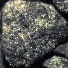
Montney Formation
89.8 km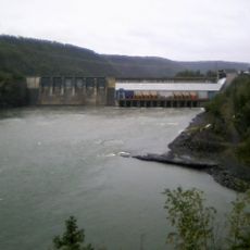
Peace Canyon Dam
129.7 km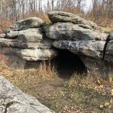
Charlie Lake Cave
62.9 km
Dunvegan Provincial Park
88.7 km
Philip J. Currie Dinosaur Museum
124.2 km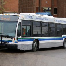
Grande Prairie Transit
134.3 km
Fort Fork
152.9 km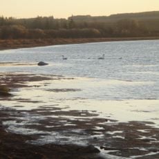
Saskatoon Island Provincial Park
122 km
Bluesky Formation
113.6 km
Chinchaga Wildland Provincial Park
107.8 km
Dunvegan Formation
86.6 km
Peace River Formation
161.4 km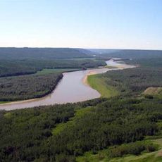
Peace River Wildland Provincial Park
136.7 km
Greene Valley Provincial Park
168.4 km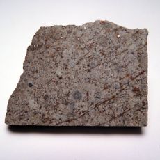
Peace River meteorite
124.5 km
Kiskatinaw Provincial Park
46.5 km
Kaskapau Formation
86.6 km
Figure Eight Lake Provincial Recreation Area
126.4 km
Grande Prairie High School
134 km
Fort St. John - North Peace Museum
56.5 km
Factor’s House
88 km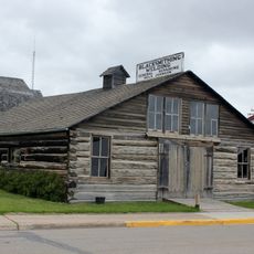
Sexsmith Blacksmith Shop
118.1 km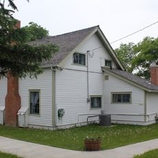
Reverend Forbes Homestead
134 km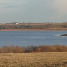
Saskatoon Lake Migratory Bird Sanctuary
120.5 km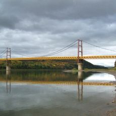
Dunvegan Bridge
88.1 km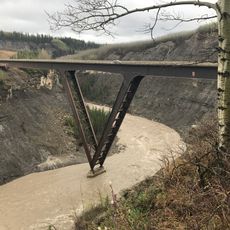
Kiskatinaw Bridge
49.1 km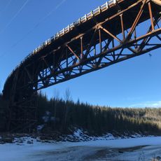
Kiskatinaw River Bridge
46.6 kmReviews
Visited this place? Tap the stars to rate it and share your experience / photos with the community! Try now! You can cancel it anytime.
Discover hidden gems everywhere you go!
From secret cafés to breathtaking viewpoints, skip the crowded tourist spots and find places that match your style. Our app makes it easy with voice search, smart filtering, route optimization, and insider tips from travelers worldwide. Download now for the complete mobile experience.

A unique approach to discovering new places❞
— Le Figaro
All the places worth exploring❞
— France Info
A tailor-made excursion in just a few clicks❞
— 20 Minutes