
Cole Rapids, rapids in Saskatchewan, Canada
Location: Saskatchewan
Elevation above the sea: 442 m
GPS coordinates: 53.26678,-105.20098
Latest update: September 30, 2025 19:39
Fort Carlton
99.3 km
Wanuskewin Heritage Park
148.7 km
Tobin Lake
118.2 km
Forestry Farm Park and Zoo
154.8 km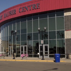
Art Hauser Centre
36.7 km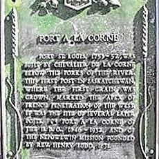
Fort de la Corne
29.7 km
Muenster
120.6 km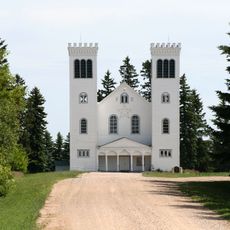
St. Peter's Abbey, Saskatchewan
120.4 km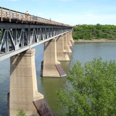
CPR Bridge
158.4 km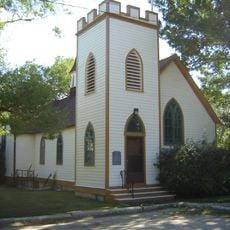
Rugby Chapel
158.3 km
Annaheim
108.6 km
Laird
111.7 km
Saskatchewan Accelerator Laboratory
158.5 km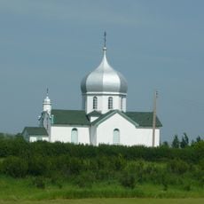
Krydor
145.6 km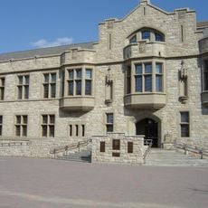
Peter MacKinnon Building
158.5 km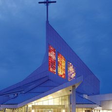
Holy Family Cathedral
155.4 km
St. Gregor
128.7 km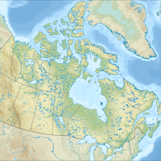
Candle Lake Provincial Park
60.2 km
Seager Wheeler's Maple Grove Farm
94.9 km
Circle Drive Bridge
157.2 km
Neuanlage
123.9 km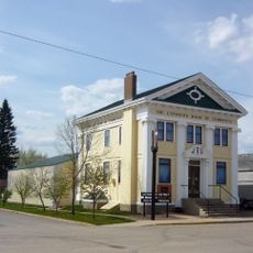
Canadian Bank of Commerce
134.6 km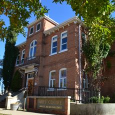
Prince Albert Arts Centre
37.9 km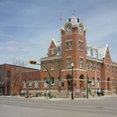
Humboldt Post Office
119 km
Clarence-Steepbank Lakes Provincial Park
110 km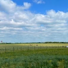
Wanuskewin
150.3 km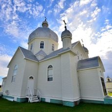
St. John the Baptist Ukrainian Greek Catholic Church
112.2 km
Raven Island National Wildlife Area
92.8 kmReviews
Visited this place? Tap the stars to rate it and share your experience / photos with the community! Try now! You can cancel it anytime.
Discover hidden gems everywhere you go!
From secret cafés to breathtaking viewpoints, skip the crowded tourist spots and find places that match your style. Our app makes it easy with voice search, smart filtering, route optimization, and insider tips from travelers worldwide. Download now for the complete mobile experience.

A unique approach to discovering new places❞
— Le Figaro
All the places worth exploring❞
— France Info
A tailor-made excursion in just a few clicks❞
— 20 Minutes