Lac la Ronge, Glacial lake in northern Saskatchewan, Canada
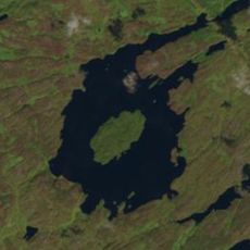
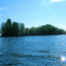
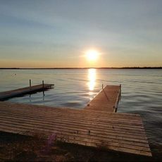
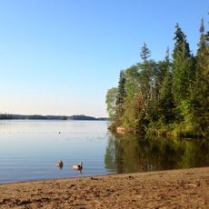
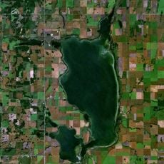
Lac la Ronge is a glacial lake on the southern edge of the Canadian Shield, about 250 km north of Prince Albert. Its water surface covers 1,330 km² at 366 m above sea level, and more than 1,300 ice-carved granite islands lie in its northern half. It is fed mainly by the Montreal River from Montreal Lake and drains north via the Rapid River into Nistowiak Lake in the Churchill River system.
The lake lies on the southern edge of the Canadian Shield, and its water level has been regulated since 1966, when an embankment dam 3.7 metres high with four gates was built at the source of the Rapid River. The dam was upgraded in 2007, when a fish ladder was added, and again between 2017 and 2022 at a cost of $2.7 million, with a steel structure over the spillway and seepage repairs.
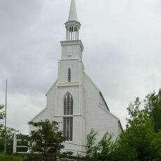
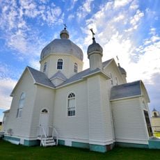
The lake lies in Woodland Cree territory; Missinipe, a community within Lac La Ronge Provincial Park, is the Woodland Cree name for the Churchill River. Stanley Mission, reached by Highway 915, sits on the Churchill River across from Holy Trinity Anglican Church, Saskatchewan's oldest building, built by Cree parishioners.
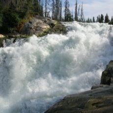
Highway 2 runs along the west side of the lake and ends at La Ronge, where it becomes Highway 102. On the north side of Lac La Ronge Provincial Park, Highway 915 leads to Stanley Mission on the Churchill River. The lake freezes from November to May, and Nistowiak Falls can be reached by canoe routes on the park's north side.
Lac la Ronge holds over 1,300 ice age-carved granite islands in its northern half, and these islands have been studied in biogeography research on how island size and isolation shape the wildlife living on them.
The community of curious travelers
AroundUs brings together thousands of curated places, local tips, and hidden gems, enriched daily by 92,630 contributors worldwide.