
Devil Rapids, rapids in Saskatchewan, Canada
Location: Saskatchewan
Elevation above the sea: 337 m
GPS coordinates: 56.20017,-103.16748
Latest update: March 3, 2025 14:35
Four Corners
428.4 km
Fort Carlton
429.5 km
Stony Rapids
375.2 km
Tobin Lake
292.1 km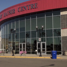
Art Hauser Centre
374.1 km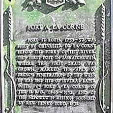
Fort de la Corne
355.4 km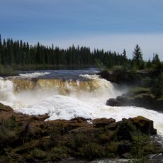
Pisew Falls Provincial Park
319.3 km
Meadow Lake Provincial Park
412.7 km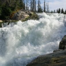
Nistowiak Falls
116.8 km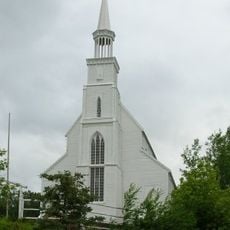
Holy Trinity Anglican Church
122.8 km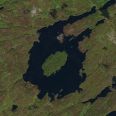
Gow crater
86.1 km
Lac La Ronge Provincial Park
138.4 km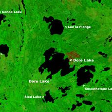
Dore Lake
319.4 km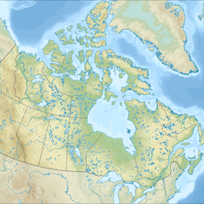
Candle Lake Provincial Park
300.6 km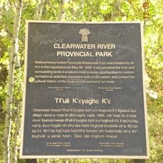
Clearwater River Provincial Park
365 km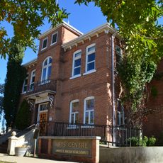
Prince Albert Arts Centre
373 km
Clearwater Lake Provincial Park
270.5 km
Kichi Sipi Bridge
389.9 km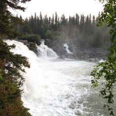
Kwasitchewan Falls
322.9 km
Clarence-Steepbank Lakes Provincial Park
246.4 km
Bakers Narrows Provincial Park
194.6 km
Sam Waller Museum
291.5 km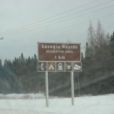
Sasagiu Rapids Provincial Park
318.2 km
Little Limestone Lake Provincial Park
365.1 km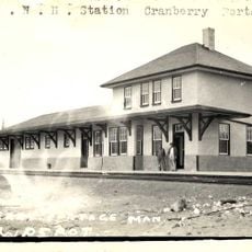
Cranberry Portage railway station
212.2 km
Rocky Lake Provincial Park
252.1 km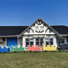
Flin Flon Station Museum
179.8 km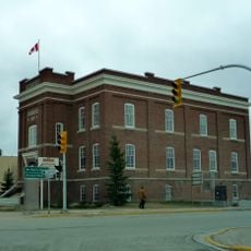
Court House and Community Building
291.4 kmReviews
Visited this place? Tap the stars to rate it and share your experience / photos with the community! Try now! You can cancel it anytime.
Discover hidden gems everywhere you go!
From secret cafés to breathtaking viewpoints, skip the crowded tourist spots and find places that match your style. Our app makes it easy with voice search, smart filtering, route optimization, and insider tips from travelers worldwide. Download now for the complete mobile experience.

A unique approach to discovering new places❞
— Le Figaro
All the places worth exploring❞
— France Info
A tailor-made excursion in just a few clicks❞
— 20 Minutes