Enable Location

We need your location to show you interesting places around you

Discover nearby places

Find interesting locations and hidden gems around you

Precise directions

Get accurate directions and distances to places

Your location is never shared with other users. It's only used when you tap the location button.

Lawton

Log in to your account

Start exploring — it's free

Trusted by 62,526 travelers worldwide

Continue with Google
Continue with Apple
or

We will send you a code to connect

By continuing, you accept our Terms and Conditions and our Privacy Policy

Check your inbox

We've sent a pincode in your inbox. Please enter the code below.

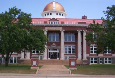
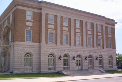
Lawton, County seat in southwestern Oklahoma, United States.

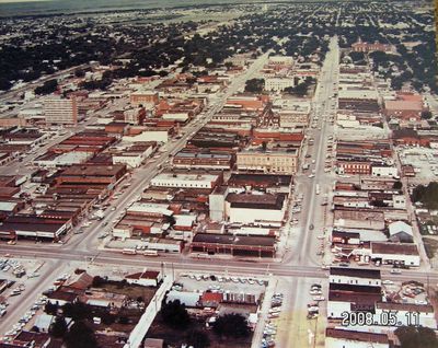
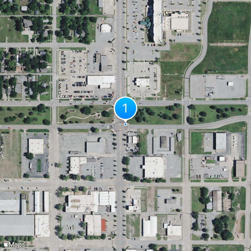
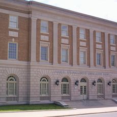
Lawton is a city at the base of the Wichita Mountains in southwestern Oklahoma, covering flat plains and rolling hills at an elevation of 339 meters (1,112 feet). Streets follow a grid through residential areas while the center concentrates shops and public buildings along main roads.

The city emerged in 1901 through a land auction after the federal government reached agreements with Kiowa, Comanche, and Apache tribes to settle their former reservation territories. Fort Sill was already established in 1869 and shaped the development of the region as a military post.

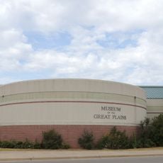
The Museum of the Great Plains presents collections on southern Plains history with displays on pre-European cultures and pioneer settlement. Geronimo spent his final years at Fort Sill and was buried there, and his grave still draws visitors today.

The Lawton Area Transit System connects major points across the city with regular bus routes, and Interstate 44 provides direct access to Oklahoma City. The Wichita Mountains lie to the northwest and are easily reached by local roads.

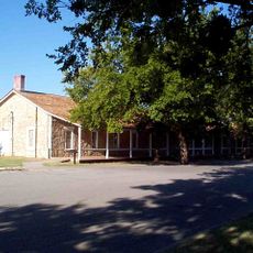
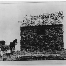
Fort Sill continues to house the United States Army Field Artillery School and influences the local economy through military presence. The base also preserves historic buildings from the Indian Wars era on its grounds.

The community of curious travelers

AroundUs brings together thousands of curated places, local tips, and hidden gems, enriched daily by 60,000 contributors worldwide.

Start exploring
Location
Inception
1901
Elevation above the sea
339 m
Shares border with
Fort Sill
GPS coordinates
34.60869,-98.39033
Latest update
December 13, 2025 01:55
Around this place
Fort Sill
United States of America

Fort Sill

15.2 km
Signal Mountain Blockhouse
United States of America

Signal Mountain Blockhouse

11.7 km
Mattie Beal House
United States of America

Mattie Beal House

1.5 km
Museum of the Great Plains
United States of America

Museum of the Great Plains

1.3 km
First Christian Church
United States of America

First Christian Church

872 m
Carnegie Library
United States of America

Carnegie Library

439 m
United States of America

First Presbyterian Church of Lawton

1 km
United States of America

Methodist Episcopal Church, South

907 m
Urban Air Trampoline and Adventure Park
United States of America

Urban Air Trampoline and Adventure Park

6.6 km
Mahoney-Clark House
United States of America

Mahoney-Clark House

536 m
Elmer Thomas Park Splashpad
United States of America

Elmer Thomas Park Splashpad

1.3 km
Historic Mattie Beal Home
United States of America

Historic Mattie Beal Home

1.5 km
Shepler Square Park
United States of America

Shepler Square Park

378 m
Lawton Federal Building and United States Courthouse
United States of America

Lawton Federal Building and United States Courthouse

755 m
Comanche Indian Mission Cemetery
United States of America

Comanche Indian Mission Cemetery

3.7 km
United States of America

Harmon Park

1.6 km
United States of America

Thompson Park

2.7 km
United States of America

Bald Ridge

10.8 km
United States of America

Medicine Bluffs

8.7 km
United States of America

Oknoname 031052 Reservoir

1.5 km
United States of America

Fort Sill Golf Course

8.1 km
United States of America

Lawton Country Club

5.7 km
United States of America

Lawton Municipal Golf Course

4.8 km
United States of America

Comanche Nation Entertainment Complex

1.2 km
United States of America

Cameron University Theater

3.8 km
United States of America

McMahon Memorial Auditorium

1.3 km
United States of America

Lawton Community Theatre

1.7 km
United States of America

Artillery Bowl Historic Site

6.3 km
Show the full map
« Lawton - County seat in southwestern Oklahoma, United States » is provided by Around Us (aroundus.com). Images and texts are derived from Wikimedia project under a Creative Commons license. You are allowed to copy, distribute, and modify copies of this page, under the conditions set by the license, as long as this note is clearly visible.

Discover hidden gems everywhere you go!

From secret cafés to breathtaking viewpoints, skip the crowded tourist spots and find places that match your style. Our app makes it easy with voice search, smart filtering, route optimization, and insider tips from travelers worldwide. Download now for the complete mobile experience.

Around Us App Screenshot

A unique approach to discovering new places

Le Figaro

All the places worth exploring

France Info

A tailor-made excursion in just a few clicks

20 Minutes

Around Us
Travel Guide & Maps
Download

Send to your phone

QR Code
1

Open the camera app on your mobile.

2

Point at the QR code with your camera. A notification will appear.

3

Tap the notification to open the link.