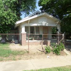
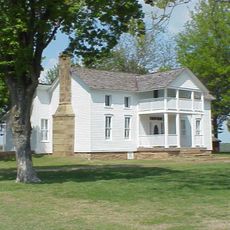
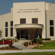
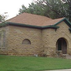
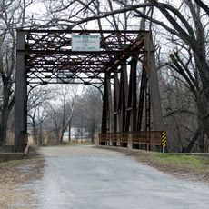
Rogers County, county in Oklahoma, United States
The community of curious travelers
AroundUs brings together thousands of curated places, local tips, and hidden gems, enriched daily by 60,000 contributors worldwide.
Location
Inception
July 16, 1907
Capital city
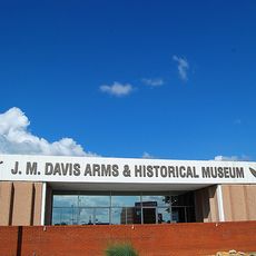
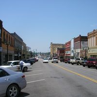
Claremore
Shares border with
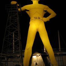
Nowata County, Craig County, Mayes County, Wagoner County, Washington County, Tulsa County
Website
GPS coordinates
36.37000,-95.60000
Latest update
March 3, 2025 09:02