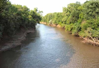
Neosho River, Major river system in eastern Kansas and northeastern Oklahoma, United States.
The Neosho River is a river system in eastern Kansas and northeastern Oklahoma that flows for about 463 miles total. It travels southeast across Kansas before turning south-southwest through Oklahoma until it joins the Arkansas River.
The river's course was shaped by the construction of several dams by the U.S. Army Corps of Engineers, including Council Grove Lake and John Redmond Reservoir in Kansas. These structures changed how water moved through the region and helped manage flooding and water supply.
The river's name comes from the Osage language, meaning clear and abundant water, which reflects how indigenous peoples understood this waterway. The name captures the natural qualities that made it important to communities along its path.
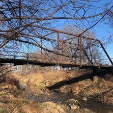
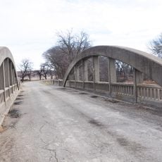
The river can be accessed at various points along its course, with monitoring stations providing information about water conditions for planning visits. Water levels change with the seasons, so checking current conditions before going is helpful for any activity along the river.
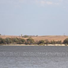
The river forms Three Forks at its confluence with the Arkansas and Verdigris rivers near Muskogee, Oklahoma, a notable meeting point of three waterways. This confluence creates a distinctive water formation that shapes the landscape of the region.
The community of curious travelers
AroundUs brings together thousands of curated places, local tips, and hidden gems, enriched daily by 60,000 contributors worldwide.