Enable Location

We need your location to show you interesting places around you

Discover nearby places

Find interesting locations and hidden gems around you

Precise directions

Get accurate directions and distances to places

Your location is never shared with other users. It's only used when you tap the location button.

Grant County

Log in to your account

Start exploring — it's free

Trusted by 62,830 travelers worldwide

Continue with Google
Continue with Apple
or

We will send you a code to connect

By continuing, you accept our Terms and Conditions and our Privacy Policy

Check your inbox

We've sent a pincode in your inbox. Please enter the code below.

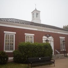
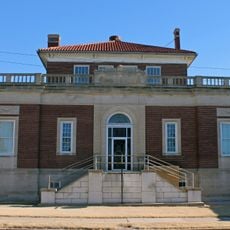
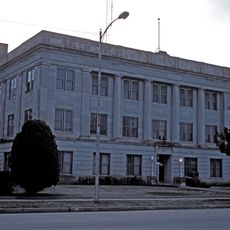
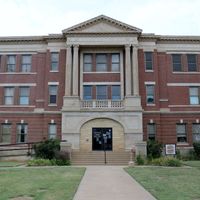
Grant County, Administrative county in northern Oklahoma, United States.

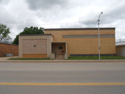
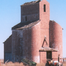
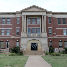
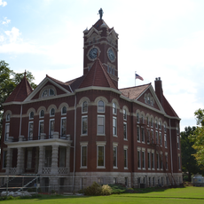
Grant County is an administrative county in northern Oklahoma that contains agricultural lands, small towns, and highways connecting its various settlements. The landscape consists of open terrain suitable for farming and ranching, with modest communities distributed across the territory.

The territory became available for settlement in 1893 and received its name in 1894 through local election in honor of President Ulysses S. Grant. Oil and gas discoveries in the 1920s brought significant economic changes to the county's development.

Agriculture shapes daily life here, with grain farming and cattle ranching forming the economic backbone of the communities. You can see this agricultural focus in how the landscape is organized and used by residents.

U.S. Routes 60, 64, and 81 provide the main transportation connections through the county, linking the county seat of Medford with surrounding regions. These highways make it relatively straightforward to navigate between different communities and access areas outside the county.

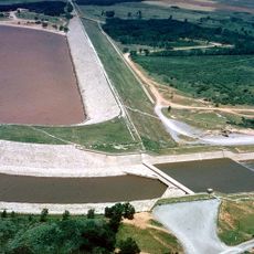
Oil and gas deposits were discovered in the eastern portion near Blackwell Field during the 1920s, shifting the local economy beyond farming alone. These energy resources created an additional economic foundation that existed alongside traditional agricultural activities.

The community of curious travelers

AroundUs brings together thousands of curated places, local tips, and hidden gems, enriched daily by 60,000 contributors worldwide.

Start exploring
Location
Inception
1893
Capital city
Medford
Shares border with
Sumner County, Kay County, Noble County, Garfield County, Harper County, Alfalfa County
GPS coordinates
36.80000,-97.79000
Latest update
December 10, 2025 15:56
Around this place
Great Salt Plains Lake
United States of America

Great Salt Plains Lake

36.1 km
Salt Plains National Wildlife Refuge
United States of America

Salt Plains National Wildlife Refuge

39.1 km
H. H. Champlin House
United States of America

H. H. Champlin House

46.5 km
Gaslight Theatre
United States of America

Gaslight Theatre

45.4 km
Cherokee Strip Regional Heritage Center
United States of America

Cherokee Strip Regional Heritage Center

46.1 km
Salter House
United States of America

Salter House

51.8 km
Railroad Museum of Oklahoma
United States of America

Railroad Museum of Oklahoma

44.9 km
Midgley Museum
United States of America

Midgley Museum

46.6 km
Ingersoll Tile Elevator
United States of America

Ingersoll Tile Elevator

53.4 km
Waverley Historic District
United States of America

Waverley Historic District

45.9 km
Garfield County Courthouse
United States of America

Garfield County Courthouse

45.6 km
Enid Armory
United States of America

Enid Armory

45.1 km
Electric Park Pavilion
United States of America

Electric Park Pavilion

45.3 km
Jackson School
United States of America

Jackson School

46.3 km
Lamerton House
United States of America

Lamerton House

47 km
Clay Hall
United States of America

Clay Hall

45.6 km
Cherokee Friends Church
United States of America

Cherokee Friends Church

50.5 km
Caldwell Carnegie Library
United States of America

Caldwell Carnegie Library

30.5 km
Enid Masonic Temple
United States of America

Enid Masonic Temple

45.7 km
Public Library of Enid and Garfield County
United States of America

Public Library of Enid and Garfield County

45.7 km
First Presbyterian Church of Tonkawa
United States of America

First Presbyterian Church of Tonkawa

45.3 km
Grant County Courthouse
United States of America

Grant County Courthouse

5.1 km
Old Runnymede Church
United States of America

Old Runnymede Church

58.6 km
Harper County Courthouse
United States of America

Harper County Courthouse

44.8 km
Pond Creek Masonic Lodge No. 125
United States of America

Pond Creek Masonic Lodge No. 125

14.6 km
Caldwell United States Post Office
United States of America

Caldwell United States Post Office

30.5 km
Tonkawa Lodge No. 157 A.F. & A.M.
United States of America

Tonkawa Lodge No. 157 A.F. & A.M.

45.1 km
Alfalfa County Courthouse
United States of America

Alfalfa County Courthouse

50.7 km
Show the full map
Administrative divisions
« Grant County - Administrative county in northern Oklahoma, United States » is provided by Around Us (aroundus.com). Images and texts are derived from Wikimedia project under a Creative Commons license. You are allowed to copy, distribute, and modify copies of this page, under the conditions set by the license, as long as this note is clearly visible.

Discover hidden gems everywhere you go!

From secret cafés to breathtaking viewpoints, skip the crowded tourist spots and find places that match your style. Our app makes it easy with voice search, smart filtering, route optimization, and insider tips from travelers worldwide. Download now for the complete mobile experience.

Around Us App Screenshot

A unique approach to discovering new places

Le Figaro

All the places worth exploring

France Info

A tailor-made excursion in just a few clicks

20 Minutes

Around Us
Travel Guide & Maps
Download

Send to your phone

QR Code
1

Open the camera app on your mobile.

2

Point at the QR code with your camera. A notification will appear.

3

Tap the notification to open the link.