Chest opened
+${chestReward.xp} XP
Explorer
NOUVEAU ×${chestReward.collectible.quantity}
tapez pour fermer

See the monuments around you in AR Open chests in the app

Around Us is built for your phone — point your camera at the streets and discover the monuments and places around you in augmented reality. Around Us is built for your phone — chests unlock when you walk, explore and capture nearby places.

Enable Location

We need your location to show you interesting places around you

Discover nearby places

Find interesting locations and hidden gems around you

Precise directions

Get accurate directions and distances to places

Your location is never shared with other users. It's only used when you tap the location button.

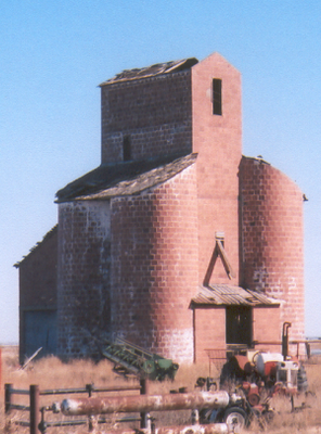
Ingersoll Tile Elevator

Log in to your account

Start exploring — it's free

Trusted by 85,764 travelers worldwide

Continue with Google
Continue with Apple
or

We will send you a code to connect

By continuing, you accept our Terms and Conditions and our Privacy Policy

Check your inbox

We've sent a pincode in your inbox. Please enter the code below.

Discussion Reviews 1 Photos
1.3k Popularity

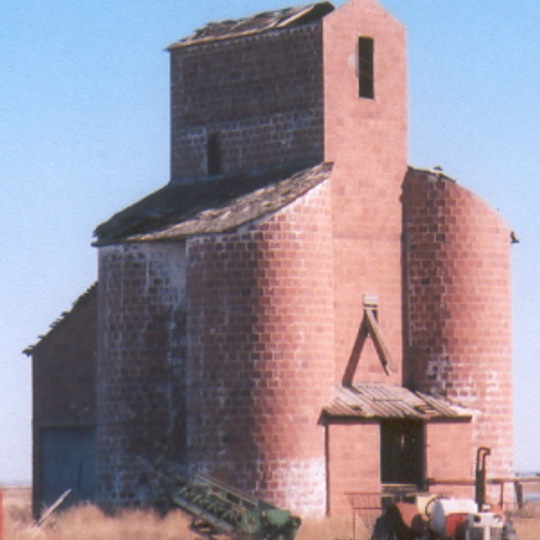
Ingersoll Tile Elevator, Clay tile grain elevator in Ingersoll, Oklahoma.

The Ingersoll Tile Elevator is a grain storage facility made of red clay tiles in Ingersoll, Oklahoma. The structure uses hollow ceramic blocks assembled to create a distinctive form that rises along US Highway 64.

The facility was built in 1920 and marked the shift from wooden to more durable storage structures during the region's wheat production boom. This change allowed farmers to store larger harvests more reliably.

The elevator represents the agricultural heritage of northwestern Oklahoma, where grain storage facilities supported local farming communities near railway lines.

The structure sits along a main highway and is easy to view from the road. It stands in flat terrain in northwestern Oklahoma where it remains clearly visible to passing travelers.

The facility uses a construction method with hollow red clay tiles that was unusual for early grain elevators and offered special durability. This technique allowed builders to create stable structures that required less maintenance than traditional wooden buildings.

The community of curious travelers

AroundUs brings together thousands of curated places, local tips, and hidden gems, enriched daily by 60,000 contributors worldwide.
Start exploring
Location
GPS coordinates
36.79705,-98.38900
Latest update
August 30, 2026 18:45
Around this place
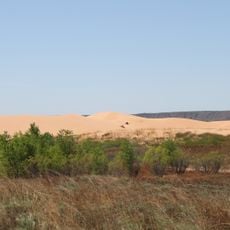
Little Sahara State Park
United States of America

Little Sahara State Park

32.9 mi
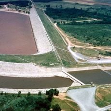
Great Salt Plains Lake
United States of America

Great Salt Plains Lake

11.7 mi
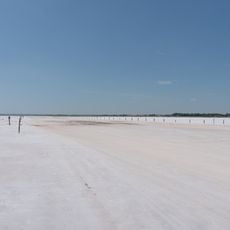
Salt Plains National Wildlife Refuge
United States of America

Salt Plains National Wildlife Refuge

9.7 mi
Gloss Mountain State Park
United States of America

Gloss Mountain State Park

31.6 mi
H. H. Champlin House
United States of America

H. H. Champlin House

39.4 mi
Carrie Nation House
United States of America

Carrie Nation House

34.8 mi
United States of America

Sod House

22.6 mi
Gaslight Theatre
United States of America

Gaslight Theatre

39.5 mi
Medicine Lodge Peace Treaty Site
United States of America

Medicine Lodge Peace Treaty Site

35.7 mi
Cherokee Strip Regional Heritage Center
United States of America

Cherokee Strip Regional Heritage Center

40.1 mi
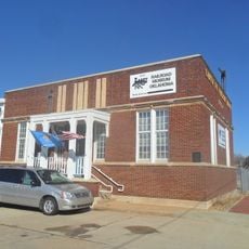
Railroad Museum of Oklahoma
United States of America

Railroad Museum of Oklahoma

39.1 mi
Midgley Museum
United States of America

Midgley Museum

39.5 mi
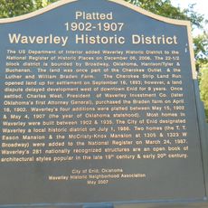
Waverley Historic District
United States of America

Waverley Historic District

39 mi
Central National Bank
United States of America

Central National Bank

15.4 mi
Garfield County Courthouse
United States of America

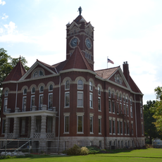
Garfield County Courthouse

39.6 mi
Enid Armory
United States of America

Enid Armory

39.8 mi
Jackson School
United States of America

Jackson School

42.2 mi
Lamerton House
United States of America

Lamerton House

39.5 mi
Clay Hall
United States of America

Clay Hall

41.1 mi
Cherokee Friends Church
United States of America

Cherokee Friends Church

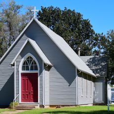
3.4 mi
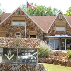
Enid Masonic Temple
United States of America

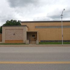
Enid Masonic Temple

39.5 mi
Public Library of Enid and Garfield County
United States of America

Public Library of Enid and Garfield County

39.6 mi
Grant County Courthouse
United States of America

Grant County Courthouse

36.3 mi
Old Runnymede Church
United States of America

Old Runnymede Church

39.4 mi
Harper County Courthouse
United States of America

Harper County Courthouse

31.7 mi
Pond Creek Masonic Lodge No. 125
United States of America

Pond Creek Masonic Lodge No. 125

33.9 mi
Alfalfa County Courthouse
United States of America

Alfalfa County Courthouse

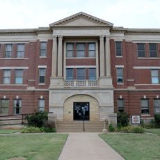
3.4 mi
Cherokee Strip Museum of Alva
United States of America

Cherokee Strip Museum of Alva

16.1 mi
Show the full map
Reviews
Share your experience

No review yet

Discussions
Start a discussion...

No discussion yet

« Ingersoll Tile Elevator - Clay tile grain elevator in Ingersoll, Oklahoma » is provided by Around Us (aroundus.com). Images and texts are derived from Wikimedia project under a Creative Commons license. You are allowed to copy, distribute, and modify copies of this page, under the conditions set by the license, as long as this note is clearly visible.

Discover hidden gems everywhere you go!

From secret cafés to breathtaking viewpoints, skip the crowded tourist spots and find places that match your style. Our app makes it easy with voice search, smart filtering, route optimization, and insider tips from travelers worldwide. Download now for the complete mobile experience.
Around Us App Screenshot

A unique approach to discovering new places

Le Figaro

All the places worth exploring

France Info

A tailor-made excursion in just a few clicks

20 Minutes

Around Us
Travel Guide & Maps
Download

Send to your phone

QR Code
1

Open the camera app on your mobile.

2

Point at the QR code with your camera. A notification will appear.

3

Tap the notification to open the link.