Enable Location

We need your location to show you interesting places around you

Discover nearby places

Find interesting locations and hidden gems around you

Precise directions

Get accurate directions and distances to places

Your location is never shared with other users. It's only used when you tap the location button.

Cowley County

Log in to your account

Start exploring — it's free

Trusted by 61,506 travelers worldwide

Continue with Google
Continue with Apple
or

We will send you a code to connect

By continuing, you accept our Terms and Conditions and our Privacy Policy

Check your inbox

We've sent a pincode in your inbox. Please enter the code below.

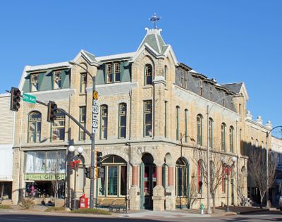
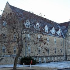
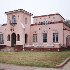
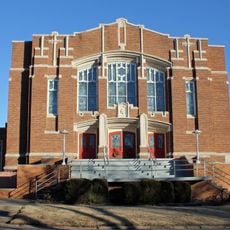
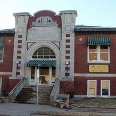
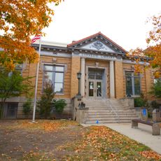
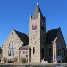
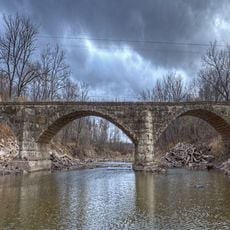
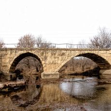
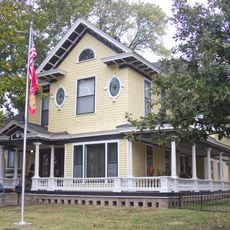
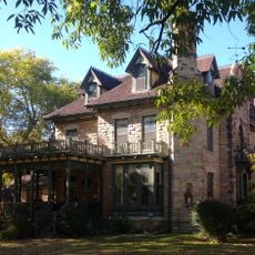
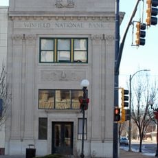
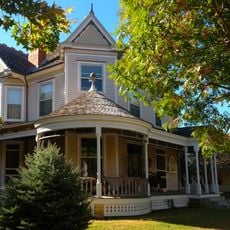
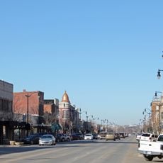
Cowley County, Administrative county in Kansas, United States

Description

Cowley County is an administrative county in Kansas that includes the cities of Winfield and Arkansas City as its main population centers. The county functions as a local governance area providing services and infrastructure to its residents across the region.

History

Kansas created Cowley County in 1867, first calling it Hunter County before renaming it in 1870 after First Lieutenant Matthew Cowley. The name change reflected the importance of Cowley's contributions to the region's early development.

Culture

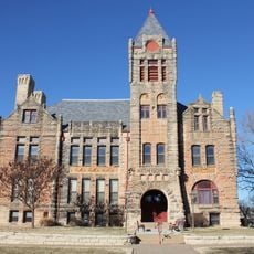
The county maintains two higher education institutions, Cowley College and Southwestern College, which provide educational opportunities to the local population.

Practical

The County Election Office handles voter registration and manages elections, with registration required about three weeks before any election date. Visitors should contact local offices for current information about services, facilities, and specific locations throughout the county.

Did you know?

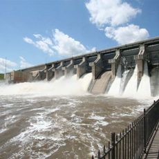
A major pipeline was constructed through the county in 2010 and received a special property tax exemption for its first decade of operation. This arrangement significantly affected local government revenues during that period.

Location
Inception
February 26, 1867
Capital city
Winfield
Shares border with
Butler County, Kay County, Elk County, Chautauqua County, Osage County, Sedgwick County, Sumner County
GPS coordinates
37.25000,-96.98000
Latest update
December 7, 2025 20:23

AroundUs brings together thousands of curated places, local tips, and hidden gems, enriched daily by 60,000 contributors worldwide. Discover all places nearby (Kansas).

Around this place
Kaw Lake
United States of America

Kaw Lake

54.9 km
Bartlett Arboretum
United States of America

Bartlett Arboretum

31.3 km
Augusta Historic Theatre
United States of America

Augusta Historic Theatre

47.5 km
Old Arkansas City High School
United States of America

Old Arkansas City High School

21.6 km
Old Oxford Mill
United States of America

Old Oxford Mill

16.6 km
Cowley County National Bank Building
United States of America

Cowley County National Bank Building

1.8 km
C. N. James Cabin
United States of America

C. N. James Cabin

46.2 km
Polecat Creek Bridge
United States of America

Polecat Creek Bridge

29 km
St. John's Lutheran College Girls Dormitory
United States of America

St. John's Lutheran College Girls Dormitory

746 m
Edwin Smith House
United States of America

Edwin Smith House

37.2 km
Grace Methodist Episcopal Church
United States of America

Grace Methodist Episcopal Church

432 m
East Badger Creek Culvert
United States of America

East Badger Creek Culvert

7.4 km
Winfield Public Carnegie Library
United States of America

Winfield Public Carnegie Library

1.9 km
Wellington Carnegie Library
United States of America

Wellington Carnegie Library

37.2 km
Pilgrim Congregational Church
United States of America

Pilgrim Congregational Church

21.6 km
Bucher Bridge
United States of America

Bucher Bridge

24.2 km
Esch's Spur Bridge
United States of America

Esch's Spur Bridge

21.8 km
Silver Creek Bridge
United States of America

Silver Creek Bridge

13.4 km
Douglass Township Community Building
United States of America

Douglass Township Community Building

29.7 km
H.F. Smith House
United States of America

H.F. Smith House

37.8 km
W. P. Hackney House
United States of America

W. P. Hackney House

1.6 km
Pettit Cleaners Building
United States of America

Pettit Cleaners Building

1.7 km
Winfield National Bank Building
United States of America

Winfield National Bank Building

1.9 km
W. H. Coffin House
United States of America

W. H. Coffin House

1.7 km
Arkansas City Commercial Historic District
United States of America

Arkansas City Commercial Historic District

21.7 km
Loomis–Parry Residence
United States of America

Loomis–Parry Residence

48.1 km
Wilmer House
United States of America

Wilmer House

1 km
Little Walnut River Pratt Truss Bridge
United States of America

Little Walnut River Pratt Truss Bridge

38.9 km
Show the full map
Administrative divisions
« Cowley County - Administrative county in Kansas, United States » is provided by Around Us (aroundus.com). Images and texts are derived from Wikimedia project under a Creative Commons license. You are allowed to copy, distribute, and modify copies of this page, under the conditions set by the license, as long as this note is clearly visible.

Discover hidden gems everywhere you go!

From secret cafés to breathtaking viewpoints, skip the crowded tourist spots and find places that match your style. Our app makes it easy with voice search, smart filtering, route optimization, and insider tips from travelers worldwide. Download now for the complete mobile experience.

Around Us App Screenshot

A unique approach to discovering new places

Le Figaro

All the places worth exploring

France Info

A tailor-made excursion in just a few clicks

20 Minutes

Around Us
Travel Guide & Maps
Download

Send to your phone

QR Code
1

Open the camera app on your mobile.

2

Point at the QR code with your camera. A notification will appear.

3

Tap the notification to open the link.