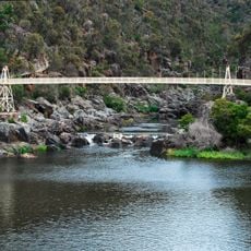
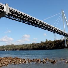
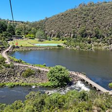
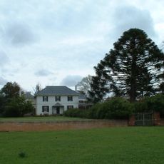
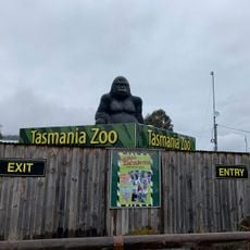
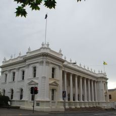
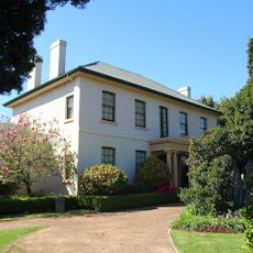
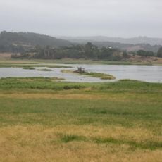
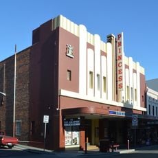
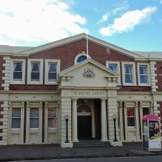
City of Launceston, local government area in Tasmania
Location: Tasmania
Elevation above the sea: 383 m
Shares border with: George Town Council, West Tamar Council, Meander Valley Council, Northern Midlands Council, Dorset, Break O'Day Council
Phone: +61363233000
Email: council@launceston.tas.gov.au
Website: http://launceston.tas.gov.au
GPS coordinates: -41.35000,147.26000
Latest update: March 26, 2025 11:14
Cataract Gorge
15.9 km
Batman Bridge
32.5 km
Cataract Gorge Reserve
16.4 km
Brickendon Estate
31.4 km
Tasmania Zoo
25.1 km
Queen Victoria Museum and Art Gallery
14.4 km
Launceston Town Hall
14 km
Mount Barrow
13.5 km
Launceston Gasworks
13.5 km
Launceston Synagogue
14.1 km
Franklin House
17.3 km
Entally House
24.9 km
Prince's Square
14.2 km
Albert Hall
13.6 km
St John's Church, Launceston
14.1 km
Holyman House
13.8 km
Star Theatre
13 km
King's Bridge
15 km
Longford Railway Bridge
28.6 km
St Andrew's Kirk, Launceston
14 km
National Automobile Museum
14.2 km
Tamar River Conservation Area
15.1 km
Princess Theatre
13.8 km
Josef Chromy Wines
18 km
Duck Reach Power Station
17.4 km
Launceston General Post Office
13.9 km
Launceston Supreme Court and Struan House
14.3 km
Jacob's Ladder, Ben Lomond National Park
38.1 kmReviews
Visited this place? Tap the stars to rate it and share your experience / photos with the community! Try now! You can cancel it anytime.
Discover hidden gems everywhere you go!
From secret cafés to breathtaking viewpoints, skip the crowded tourist spots and find places that match your style. Our app makes it easy with voice search, smart filtering, route optimization, and insider tips from travelers worldwide. Download now for the complete mobile experience.
A unique approach to discovering new places❞
— Le Figaro
All the places worth exploring❞
— France Info
A tailor-made excursion in just a few clicks❞
— 20 Minutes