
Ségbana, commune of Benin
Location: Alibori Department
Elevation above the sea: 255 m
GPS coordinates: 10.92778,3.69444
Latest update: March 3, 2025 02:12
W National Park
176.7 km
Pendjari National Park
238.4 km
Kainji National Park
112.9 km
Kainji Lake
111.5 km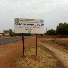
W National Park of Benin
155.6 km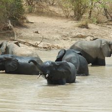
W-Arly-Pendjari Complex
167.4 km
Gallecs
170.2 km
Lété Island
168.1 km
Dosso Reserve
221.1 km
Tamou Reserve
240 km
Kourtiagou Reserve
202.6 km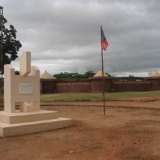
Musée en Plein Air de Parakou
213.5 km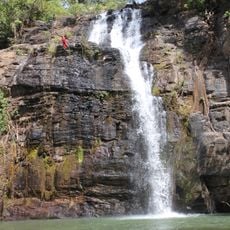
Tanougou Falls
246.3 km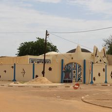
Palais du Zarmakoye
242.1 km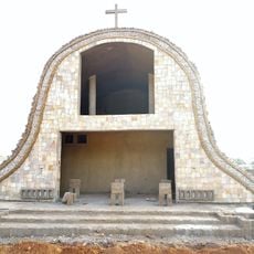
Sts. Peter and Paul Cathedral, Parakou
212.1 km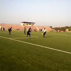
Stade Municipal de Parakou
211.6 km
Papatia Botanical Garden
235.3 km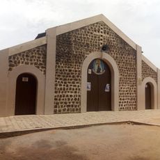
Our Lady of Mount Carmel Cathedral, Kandi
85.9 km
W National Park of Niger
215.8 km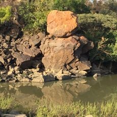
Chutes de Koudou
172.3 km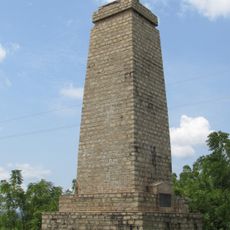
Mungo Park Memorial
234.1 km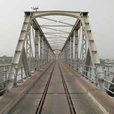
Jebba Railway Bridge
234.9 km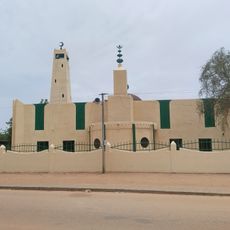
Dosso Grand Mosque
242.1 km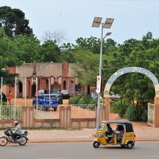
Regional Museum "Djermakoye"
241.5 km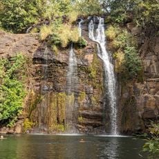
Chutes de Tanougou
246.6 km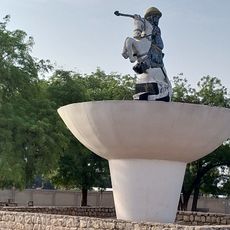
Place Bio Guéra
211.5 km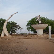
Rond point Hubert Maga
214.1 km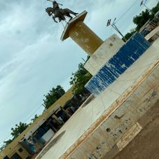
Palais de Justice
241.5 kmVisited this place? Tap the stars to rate it and share your experience / photos with the community! Try now! You can cancel it anytime.
Discover hidden gems everywhere you go!
From secret cafés to breathtaking viewpoints, skip the crowded tourist spots and find places that match your style. Our app makes it easy with voice search, smart filtering, route optimization, and insider tips from travelers worldwide. Download now for the complete mobile experience.

A unique approach to discovering new places❞
— Le Figaro
All the places worth exploring❞
— France Info
A tailor-made excursion in just a few clicks❞
— 20 Minutes