
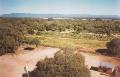
Floresta
Location: Santa Cruz Department
GPS coordinates: -19.99747,-63.03914
Latest update: April 2, 2025 02:31
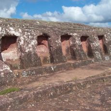
El Fuerte de Samaipata
218.5 km
Estadio Ramón Tahuichi Aguilera
245.5 km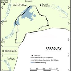
Kaa-Iya del Gran Chaco National Park and Integrated Management Natural Area
214.4 km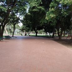
Parque Urbano
245.7 km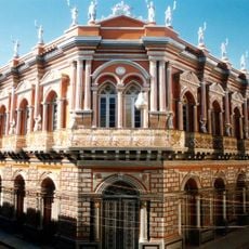
Casa Dorada, Tarija
245.6 km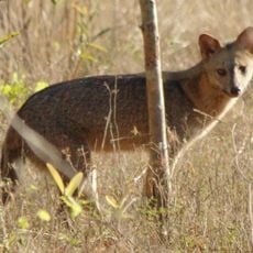
Aguaragüe Integrated Management Natural Area
177.2 km
Iñao National Park and Integrated Management Natural Area
112.2 km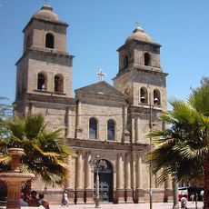
Tarija Cathedral
245.8 km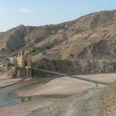
Antonio José de Sucre Bridge
235.3 km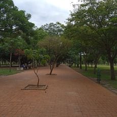
Parque Urbano Central
245.7 km
Cañón del Pilaya
224 km
Parque Nacional Teniente Enciso
232.5 km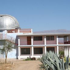
Bolivian National Observatory at Tarija
242.6 km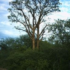
Médanos del Chaco National Park
157.5 km
Abra del Picacho
178.7 km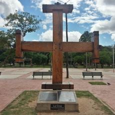
Cruz de la Cruceñidad
245.6 km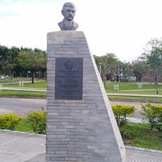
Monumento Plaza 16 de Julio
245.7 km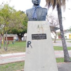
Busto del Dr. Humberto Vásquez Machicado
245.3 km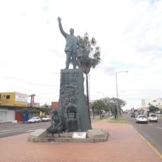
Máx Fernández Rojas
244.8 km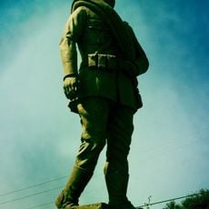
Cadete Voluntario
245.4 km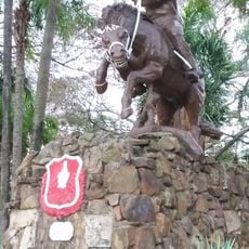
José Eustaquio Méndez
244.9 km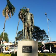
Capitán Ñuflo de Chávez
246 km
Andrés Ibáñez
245.9 km
Miguel Grau Seminario
246 km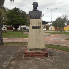
Dr. José Vásquez Machicado
245.3 km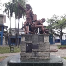
Canillita
245.4 km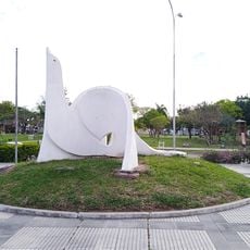
La Paloma
245.7 km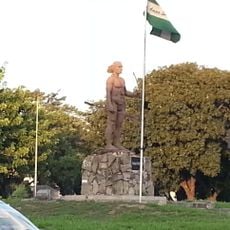
Cacique Chiriguano
245.4 kmVisited this place? Tap the stars to rate it and share your experience / photos with the community! Try now! You can cancel it anytime.
Discover hidden gems everywhere you go!
From secret cafés to breathtaking viewpoints, skip the crowded tourist spots and find places that match your style. Our app makes it easy with voice search, smart filtering, route optimization, and insider tips from travelers worldwide. Download now for the complete mobile experience.

A unique approach to discovering new places❞
— Le Figaro
All the places worth exploring❞
— France Info
A tailor-made excursion in just a few clicks❞
— 20 Minutes