
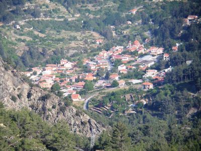
Amiantos, community in Limassol District, Republic of Cyprus
Location: Limassol District
Elevation above the sea: 1,100 m
Part of: Limassol District
Shares border with: Pelendri, Dymes, Kyperounta, Moniatis, Platres, Kakopetria
GPS coordinates: 34.91694,32.93583
Latest update: March 9, 2025 14:57
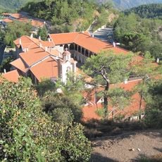
Kykkos Monastery
19.3 km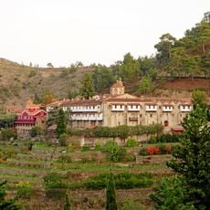
Machairas Monastery
23.4 km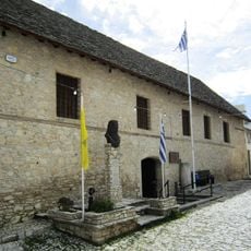
Monastery of Stavros
14 km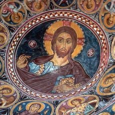
Painted Churches in the Troödos Region
14.6 km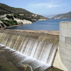
Kouris Reservoir
18.7 km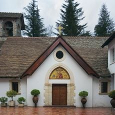
Trooditissa Monastery
8.9 km
Panagia tou Araka
8.4 km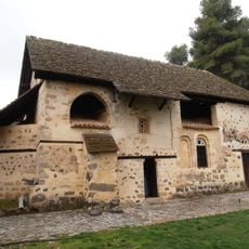
Church of St. Nicholas of the Roof
7.9 km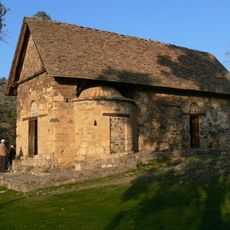
Asinou - Panagia Phorbiotissa
14.8 km
Ayios Ionannis
12.8 km
Church of Archangelos Michael (Archangel Michael) in Pedhoulas
11.1 km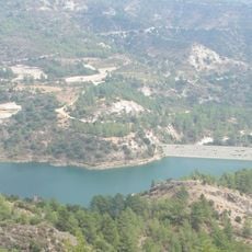
Arminou Reservoir
18.6 km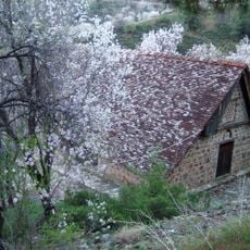
Church of Stavros (Holy Cross) Ayiasmati
12.3 km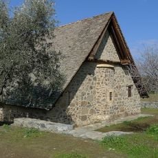
Church of Panayia (The Virgin) Podhithou
10.3 km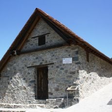
Our Lady of Moutoullas
12.5 km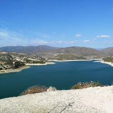
Germasogeia Reservoir
23.3 km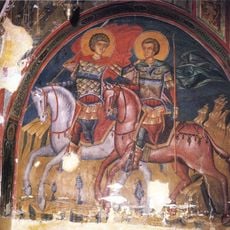
Church of Ayia Sotira (of the Transfiguration of the Savior) tou Soteros
14.6 km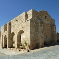
Panagia Karmiotissa
23.2 km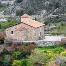
Timios Stavros
3.8 km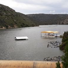
Polemidia Reservoir
22.3 km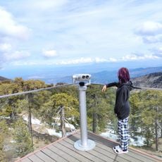
Observation platform below mount Olympus in Troodos
6.1 km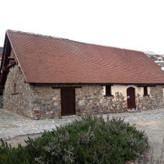
The Holy Temple of Virgin Mary the Catholic at Pelendri
3.7 km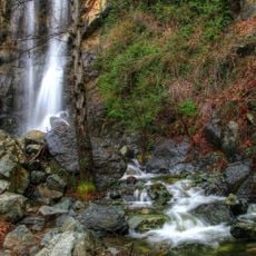
Katarráktis Kalidonión
6.2 km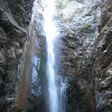
Millomeris Waterfall
7.4 km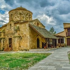
Agios Nikolaos, Orounta
24.4 km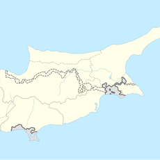
Panagía
12.6 km
Stavrós tou Agiasmáti
12.3 km
Kaledonian Waterfall
6.2 kmReviews
Visited this place? Tap the stars to rate it and share your experience / photos with the community! Try now! You can cancel it anytime.
Discover hidden gems everywhere you go!
From secret cafés to breathtaking viewpoints, skip the crowded tourist spots and find places that match your style. Our app makes it easy with voice search, smart filtering, route optimization, and insider tips from travelers worldwide. Download now for the complete mobile experience.

A unique approach to discovering new places❞
— Le Figaro
All the places worth exploring❞
— France Info
A tailor-made excursion in just a few clicks❞
— 20 Minutes