Enable Location

We need your location to show you interesting places around you

Discover nearby places

Find interesting locations and hidden gems around you

Precise directions

Get accurate directions and distances to places

Your location is never shared with other users. It's only used when you tap the location button.

Streymin bridge

Log in to your account

Start exploring — it's free

Trusted by 62,369 travelers worldwide

Continue with Google
Continue with Apple
or

We will send you a code to connect

By continuing, you accept our Terms and Conditions and our Privacy Policy

Check your inbox

We've sent a pincode in your inbox. Please enter the code below.

Streymin bridge

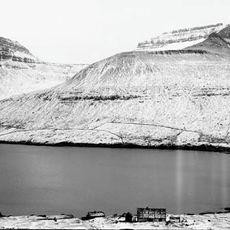
Streymin bridge, Road bridge in Nesvík, Faroe Islands

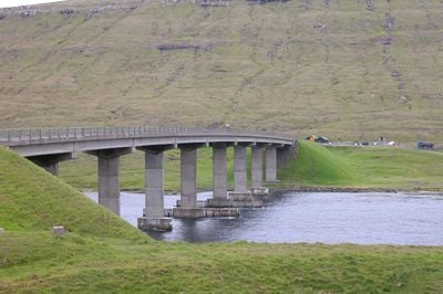
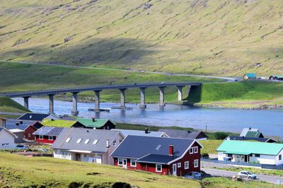
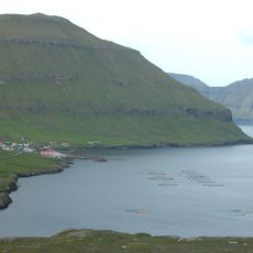
The Streymin Bridge extends 220 meters (720 feet) across the Sundini sound and connects Streymoy to Eysturoy with a 9.5‑meter (31‑foot) roadway. The concrete structure sits in the village of Nesvík and forms part of the national road linking the capital to the northern part of the archipelago.

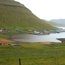
Construction began in 1970, and on October 30 the following decade the span opened as the first direct link between Streymoy and Eysturoy. Before its completion, residents and goods relied on ferries to cross the sound.

The span carries the name Brúgvin um Streymin in Faroese and links two communities that could only reach each other by boat for centuries. Residents on both islands now commute to work or visit relatives without depending on ferries or weather conditions.

The structure forms part of national road 10 and can be crossed in nearly any weather, as it has no steep grades or tight curves. Pedestrians and cyclists use a narrow strip on the edge but should watch for strong wind.

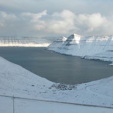
The clearance of 17 meters (56 feet) above water allows vessels to pass through the dredged Sundini sound. Engineers removed rock from the seabed to ease passage for larger fishing and supply boats.

The community of curious travelers

AroundUs brings together thousands of curated places, local tips, and hidden gems, enriched daily by 60,000 contributors worldwide.

Start exploring
Location
Nesvík
Official opening
October 30, 1973
Length
220 m
Width
9.5 m
GPS coordinates
62.20833,-7.00550
Latest update
December 13, 2025 17:47
« Streymin bridge - Road bridge in Nesvík, Faroe Islands » is provided by Around Us (aroundus.com). Images and texts are derived from Wikimedia project under a Creative Commons license. You are allowed to copy, distribute, and modify copies of this page, under the conditions set by the license, as long as this note is clearly visible.

Discover hidden gems everywhere you go!

From secret cafés to breathtaking viewpoints, skip the crowded tourist spots and find places that match your style. Our app makes it easy with voice search, smart filtering, route optimization, and insider tips from travelers worldwide. Download now for the complete mobile experience.

Around Us App Screenshot

A unique approach to discovering new places

Le Figaro

All the places worth exploring

France Info

A tailor-made excursion in just a few clicks

20 Minutes

Around Us
Travel Guide & Maps
Download

Send to your phone

QR Code
1

Open the camera app on your mobile.

2

Point at the QR code with your camera. A notification will appear.

3

Tap the notification to open the link.