Slættaratindur, Mountain peak in Runavík Municipality, Faroe Islands.
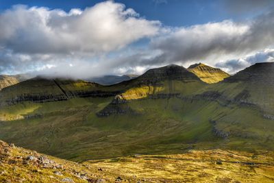
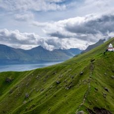
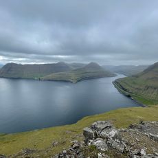
Slættaratindur is an 880-meter mountain in Runavík Municipality featuring an unusual flat summit plateau rather than a pointed peak. This expansive top area gives you clear views in every direction across the Faroese islands and surrounding ocean.
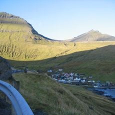
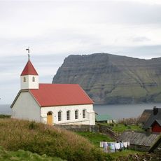
For centuries, this mountain has served as a key geographical landmark connecting the surrounding communities. It has always been a natural point of reference for the people living in the nearby settlements.
The name Slættaratindur comes from Faroese words meaning 'flat' and 'peak', which directly describes what you find at the top. When you reach the summit, this naming makes perfect sense as you walk across the unusual plateau.
The hike begins at the Eiðisskarð mountain pass and takes about two hours following marked paths to the top. Wear good hiking shoes and bring rain gear since weather can shift quickly at elevation.
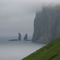
From the northern part of the summit, you can spot two striking rock formations rising directly from the ocean far below. These distinctive sea stacks are visible from great distances and define the landscape of this area.
The community of curious travelers
AroundUs brings together thousands of curated places, local tips, and hidden gems, enriched daily by 60,000 contributors worldwide.