Trongisvágsfjørður, Fjord in Suðuroy, Faroe Islands
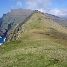
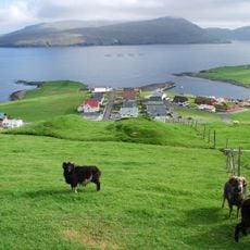
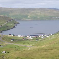
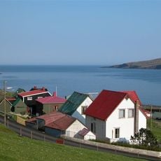
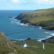
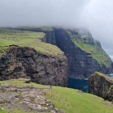
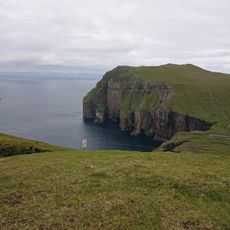
Trongisvágsfjørður is a fjord on the island of Suðuroy bordered by four settlements: Froðba to the north, Trongisvágur at the inner end, Tvøroyri, and Øravík to the south. The shores are green and mountainous, and the waterway serves as a vital connection route for residents of the surrounding villages.
The fjord long served as the center for shipping and trade among the villages along its shores. The harbor at Krambatangi became the new mooring point for the ferry Smyril in 2005, modernizing the region's maritime infrastructure.
The villages around the fjord are in Tvøroyri Municipality, and the fjord has long been a natural harbour. On the south shore of the mouth, the islet Tjaldavíkshólmur served in the Viking Age as a tent site for farmers gathering for the várting, the local assembly. The Salt Silo ruin at Drelnes is the subject of Project Salt, which aims to turn it into a concert hall and cultural house; bands played for free at a large concert there in May 2010 to support the project.
The fjord cuts about 7 km inland from southeast to northwest, with the ferry port of Krambatangi on the southern shore between Trongisvágur and Øravík; the Smyril crossing links Suðuroy with the rest of the archipelago. A helicopter pad near Froðba marks the southern end of the route from Tórshavn via Skúvoy and Stóra Dímun. The villages on the northern shore are reached by road along the water.
On 29 August 1928, German aviation pioneer Wolfgang von Gronau landed his seaplane on the fjord, the third aircraft visit in Faroese history and the first aeroplane the people of Tvøroyri had ever seen. Children reportedly shouted "grindaboð!" (whale alarm) in their excitement. Charles Lindbergh landed here in 1933 while scouting a route for Pan Am and called it the Faroes' best fjord for a seaplane base.
The community of curious travelers
AroundUs brings together thousands of curated places, local tips, and hidden gems, enriched daily by 93,494 contributors worldwide.