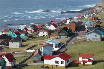
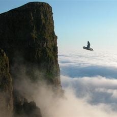
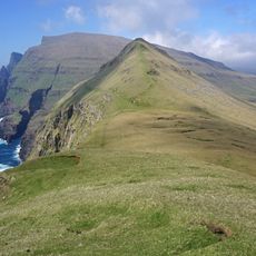
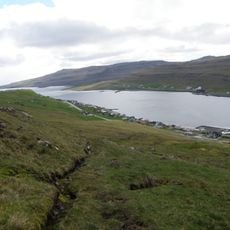
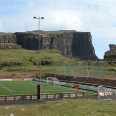
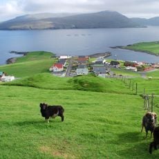
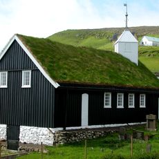
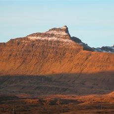
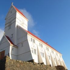
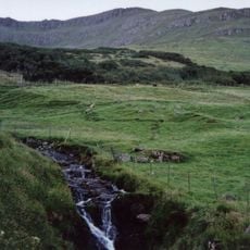
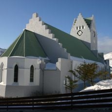
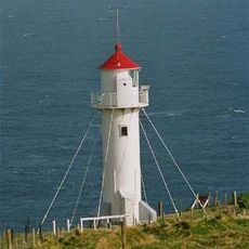
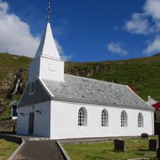
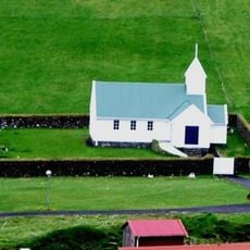
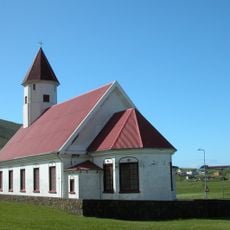
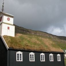
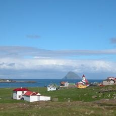
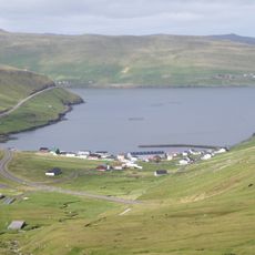
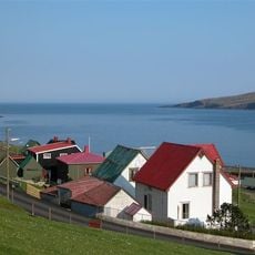
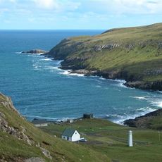
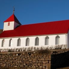
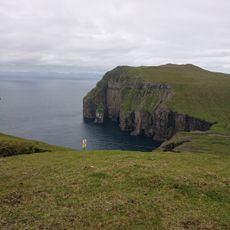
Sumba Municipality, municipality of the Faroe Islands
Location: Suðuroyar sýsla
Capital city: Sumba
GPS coordinates: 61.41440,-6.70389
Latest update: March 3, 2025 03:41
Beinisvørð
3.1 km
Fámjin stone
15.5 km
Kirvi
5 km
Trongisvágsfjørður
15.3 km
Vesturi á Eiðinum Stadium
9.1 km
Vágsfjørður
6.4 km
Porkeri Church
7.7 km
Borgarknappur
12.4 km
Church of Tvoroyri
16.4 km
Nónfjall
13.5 km
Knúkur
40.2 km
Viðarlundin í Vági
9.4 km
Vágs kirkja
8.6 km
Akraberg Lighthouse
2.7 km
Fámjins Church
15.5 km
Dals kirkja
41.1 km
Hvalbiar kirkja
24.3 km
Hovs kirkja
10.7 km
Hvalbiarfjørður
23.9 km
Lopransfjørður
5.2 km
Hovsfjørður
9.4 km
Víkarfjørður
4 km
Sumbiar kirkja
1.3 km
Øravíkar kirkja
14.3 km
Skúvoyar kirkja
39.9 km
Sandvíkar kirkja
27.2 km
Ásmundarstakkur
28.7 km
Rituskor
28.4 kmReviews
Visited this place? Tap the stars to rate it and share your experience / photos with the community! Try now! You can cancel it anytime.
Discover hidden gems everywhere you go!
From secret cafés to breathtaking viewpoints, skip the crowded tourist spots and find places that match your style. Our app makes it easy with voice search, smart filtering, route optimization, and insider tips from travelers worldwide. Download now for the complete mobile experience.
A unique approach to discovering new places❞
— Le Figaro
All the places worth exploring❞
— France Info
A tailor-made excursion in just a few clicks❞
— 20 Minutes