Geography of Grenada, Geographic features of Caribbean island country, Grenada
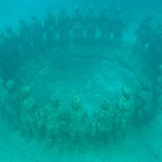
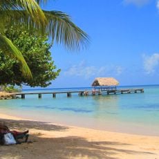
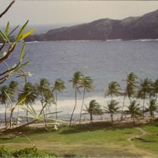
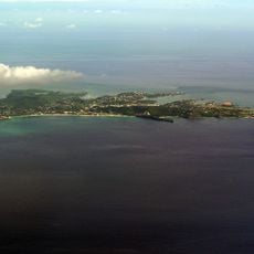
Grenada's geography features volcanic mountains, deep valleys, and coastal lowlands, with Mount St. Catherine reaching 870 meters as the highest peak. This varied terrain creates different climate zones and soil types across the island.
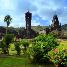
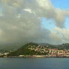
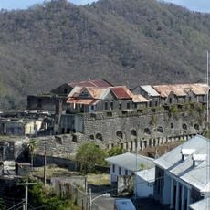
Grenada was shaped by volcanic activity millions of years ago, creating its underlying geological structure. This volcanic foundation left nutrient-rich soils that have supported farming and settlement throughout recorded history.
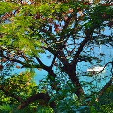
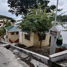
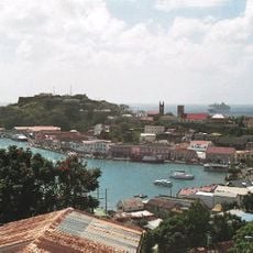
Each of Grenada's parishes developed different ways of farming based on the land around them, growing crops like nutmeg and cacao at different heights. These agricultural patterns still shape how people work and live across the island today.
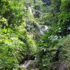
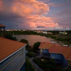
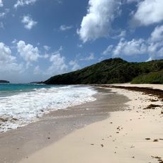
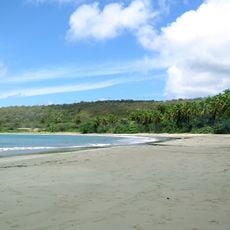
Rainfall varies significantly across the island, ranging from 1,500 millimeters in coastal areas to 3,500 millimeters in mountainous regions annually. The dry season from January to May offers the easiest conditions for exploring, while the rainy months bring lush greenery.
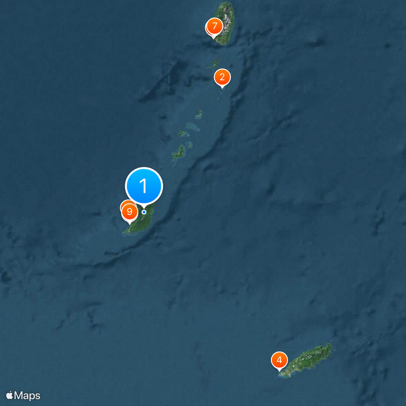
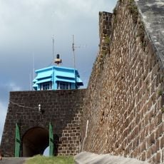
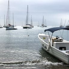
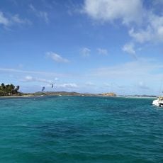
North of Grenada lies Kick 'em Jenny, an active underwater volcano and the only one of its kind in the Lesser Antilles. Though hidden beneath the surface, this volcano occasionally shows signs of activity, reminding visitors that the region's geological story continues.
The community of curious travelers
AroundUs brings together thousands of curated places, local tips, and hidden gems, enriched daily by 60,000 contributors worldwide.