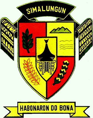
Simalungun, Administrative region in North Sumatra, Indonesia.
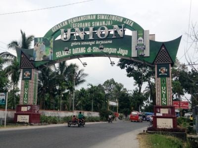
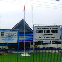
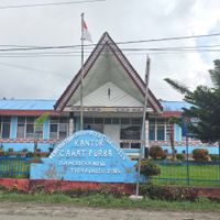
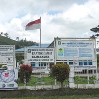
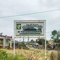
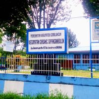
Simalungun is an administrative region in North Sumatra divided into 32 districts across a wide area. Raya serves as the administrative center where government functions are based.
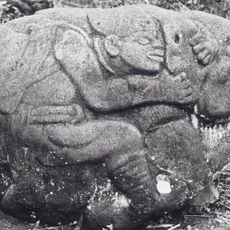
The region took its current form in the early 1900s when Dutch colonial authorities organized seven kingdoms in the area. This restructuring established the foundation for modern administrative divisions.
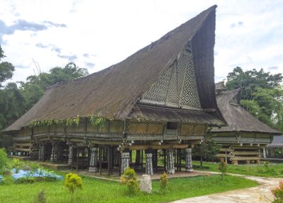
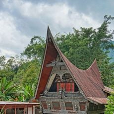
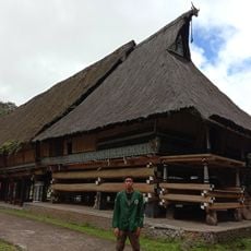
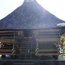
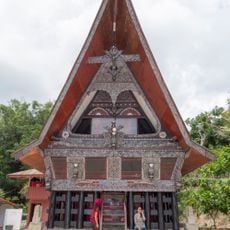
The Simalungun community is organized around traditional family clans identified by surnames such as Saragih, Damanik, Purba, and Sinaga. These kinship structures remain visible in how people today maintain social bonds within the region.
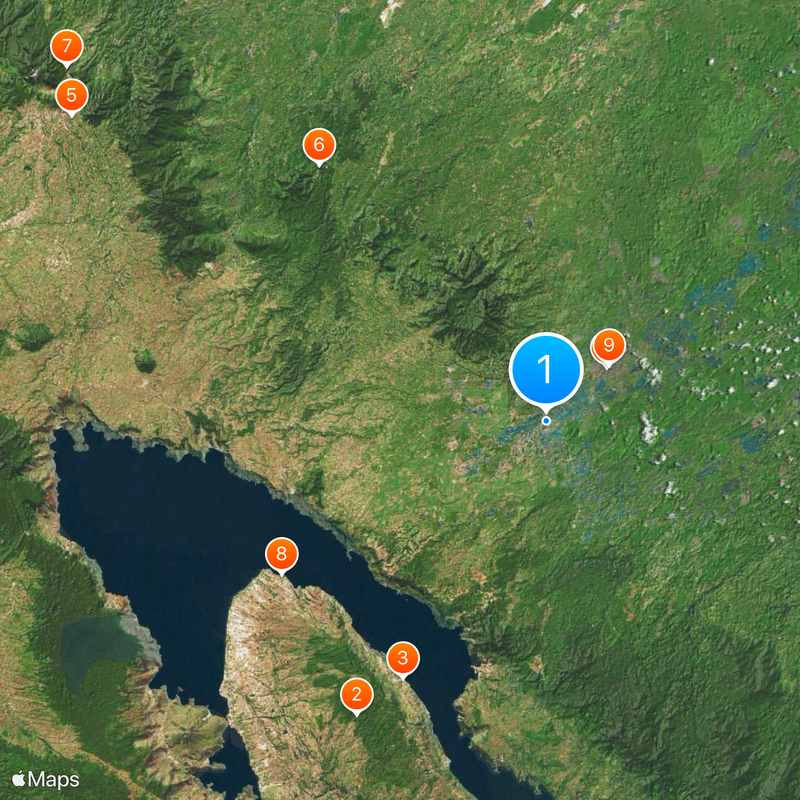
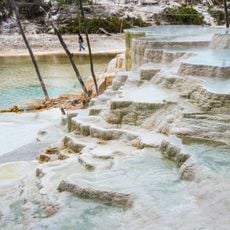
The White Crater in Dolok Tinggi Raja is located roughly 90 kilometers from Medan and serves as a popular day trip destination. From Parapat town, visitors can access ferry connections to nearby islands.
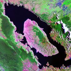
The region provides access to Lake Toba, one of the world's largest crater lakes, making it a gateway to a major natural landmark. It also hosts the Sei Mangkei Special Economic Zone, which focuses on resource processing industries.
Location: North Sumatra
Capital city: Raya
Elevation above the sea: 597 m
Shares border with: Pematangsiantar, Batu Bara, Asahan, Toba, Karo, Deli Serdang, Serdang Bedagai
Website: http://simalungunkab.go.id
GPS coordinates: 2.90000,99.00000
Latest update: December 17, 2025 08:15
Toba
37.6 km
Sigalegale
31.7 km
Pematang Siantar Zoo
8.8 km
IBC Taman Alam Lumbini
60.8 kmDolok Tinggi Raja
36.8 km
Sikulikap park & waterfall
64.3 kmHuta Bolon Simanindo Museum
32.9 km
Simalungun Museum
9.1 km
Batu Gajah megalithic site
12.5 km
Bolon Pematang Purba Cultural House Museum
31.7 kmPematang Siantar Zoology Museum
9 kmSwimbath
31.3 km
Batak Tomok Museum
31.8 km
Sigugur Beach
36 kmStone Chairs of Ambarita
30.6 kmRumah Bolon Raja Purba
35.5 kmBolon Simanindo
32.8 kmHuta Siallagan
30.6 kmViewing platform
32.5 kmGrave in a tree
31.9 kmBukit beta geopark
30.6 kmFerry to Simanindo including vehicles
26.1 kmMonkey bridge
24.5 kmVolleyball and soccer field
31.7 kmHotspring
48.1 kmAir Mancur Menari Waterfront Pangururan
46.9 kmBatak Village
51.5 kmBatak King Grave
31.7 kmVisited this place? Tap the stars to rate it and share your experience / photos with the community! Try now! You can cancel it anytime.
Discover hidden gems everywhere you go!
From secret cafés to breathtaking viewpoints, skip the crowded tourist spots and find places that match your style. Our app makes it easy with voice search, smart filtering, route optimization, and insider tips from travelers worldwide. Download now for the complete mobile experience.
A unique approach to discovering new places❞
— Le Figaro
All the places worth exploring❞
— France Info
A tailor-made excursion in just a few clicks❞
— 20 Minutes